Sign up for our Newsletter


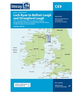
Imray Chart C69 Loch Ryan to Belfast Lough and Strangford Lough


Scale: 90000
Paper Size: 36.0" x 48.0"
Actual Chart Size: 31.0" x 44.0"
Edition Date: 2018-09-01
Online Chart Viewer
More info
Imray Chart C69 Loch Ryan to Belfast Lough and Strangford Lough
Scale: 1:90,000 WGS 84
Plans included:
Carnlough Harbour (sketch plan)
Larne (1:18 500)
Carrickfergus (1:15 000)
Bangor Bay (1:17 500)
Donaghadee Sound (1:25 000)
Entrance to Strangford Lough (1:37 500)
Portaferry Marina (1:7500)
Strangford (1:5000)
Ardglass (1:15 000)
Stranraer (1:12 500)
Portpatrick (1:6000)
On this 2018 edition the chart specification has been improved to show coloured light flashes. Depths have been updated from the latest surveys. The Marine Nature Reserve in Strangford Lough is included. There has been general updating throughout.
.