Sign up for our Newsletter


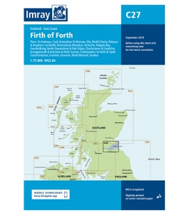
Imray Chart C27 Firth of Forth
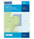
Scale: 75000
Paper Size: 36.0" x 48.0"
Actual Chart Size: 31.0" x 44.0"
Edition Date: 2018-09-01
Online Chart Viewer
Imray Chart C27 Firth of Forth
Scale: 1:75,000 WGS 84
Plans included:
St Andrews (1:7500)
Crail (1:7500)
Anstruther (1:7500)
St Monans (1:7500)
Elie (1:10 000)
Methil Docks (1:11 000)
Pettycur & Kinghorn (1:17 500)
Inchkeith (1:25 000)
Burntisland (1:20 000)
Aberdour (1:12 500)
Inchcolm (1:15 000)
Dalgety Bay (1:15 000)
Inverkeithing (1:15 000)
North Queensferry & Port Edgar (1:20 000)
Charlestown & Limekilns (1:15 000)
Grangemouth & Entrance to River Carron (1:17 500)
Continuation to Forth & Clyde Canal Entrance (1:17 500)
Granton (1:12 500)
Fisherrow (1:12 500)
North Berwick (1:7500)
Dunbar (1:7500)
On this edition the chart specification has been improved to show coloured light flashes. Depths have been updated from the latest surveys where available. Additional tidal stream data has been added. There has been general updating throughout.