Sign up for our Newsletter


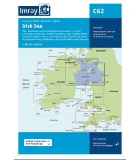
Imray Chart C62 Irish Sea


Scale: 280000
Paper Size: 36.0" x 48.0"
Actual Chart Size: 31.0" x 44.0"
Edition Date: 2020-03-01
Online Chart Viewer
Imray Chart C62 Irish Sea
Scale: 1:280,000 WGS 84
Plans included:
Carrickfergus (1:15 000)
Bangor Bay (1:17 500)
Entrance to Strangford Lough (1:37 500)
Portaferry Marina (1:7500)
Strangford (1:5000)
Ardglass (1:15 000)
Entrance to Carlingford Lough (1:26 000)
Malahide Inlet (1:35 000)
Howth (1:12 500)
Dun Laoghaire Harbour (1:15 000)
Ribble Estuary (1:125 000)
Approaches to Fleetwood (1:50 000)
River Lune (1:100 000)
Continuation to Carlingford Marina (1:40 000)
Continuation to Preston (1:125 000)
On this edition the chart specification has been improved to show coloured light flashes. Updated bathymetric data has been included where available. The firing practice areas have been updated. There has been general updating throughout.