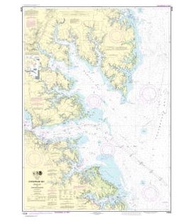
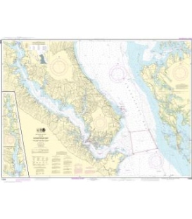
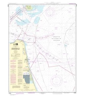
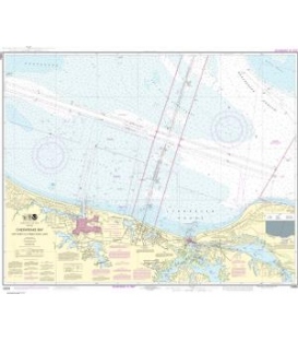
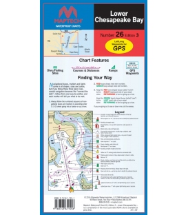
Maptech - Lower Chesapeake Bay Waterproof Chart, 3rd Edition 2016
Smith Point to Chesapeake Approaches. Featuring waypoints for major buoys, courses and distances, and ramp locations and information. Great planning chart. 24" x 36", scale 1:107,000 with insets.
Maryland Nautical uses cookies to enhance your e-commerce experience. To view more information about our cookie use, click here to view our Privacy Policy.