Sign up for our Newsletter
Sign up for our Newsletter
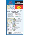
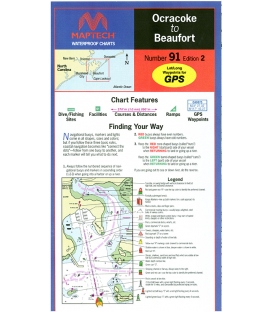
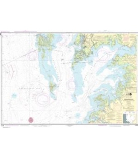
RM-C025
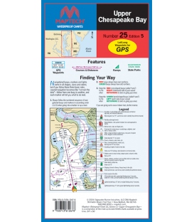
New product
ISBN: 9780743612678
Maryland Nautical uses cookies to enhance your e-commerce experience. To view more information about our cookie use, click here to view our Privacy Policy.