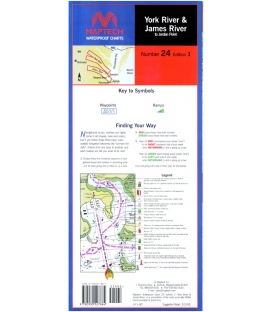
York and James Rivers, 1st Edition, 1999, York River--Includes Matapony River to Aylett, and Pamunkey River to Newcastle bridges. James River--to Jordan Point. Ramp locations and information. 14" x 60", scale 1:53,333 with insets(1:21,505).
Maryland Nautical uses cookies to enhance your e-commerce experience. To view more information about our cookie use, click here to view our Privacy Policy.