Sign up for our Newsletter


More info
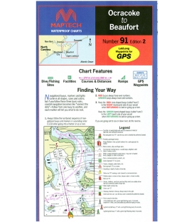
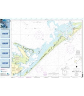
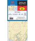
Maptech Waterproof Chart Albemarle & Pamlico Sounds, 3rd, 2016
THE chart for transiting and exploring the sounds. GPS waypoints, courses and distances, marine facility locations and information, public boat launch locations, dive/fishing sites. 24" X 36", scale 106,666 with insets.