

Sign up for our Newsletter
Richardson's Maptech
-
-
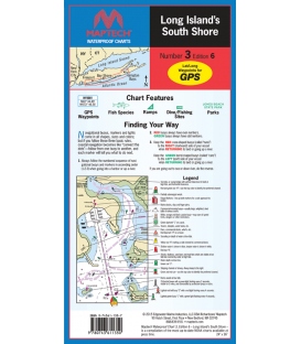
Maptech Waterproof Chart WPC003, Long Island's South Shore, 6th Edition, 2015
$26.95East Rockaway Inlet to Shinnecock Inlet. Featuring waypoints for major buoys, courses and distances, and ramp locations and information. 24" x 36", scale 1:48,193 with insets.
-
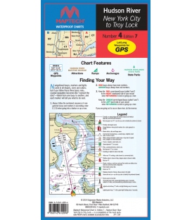
Maptech Waterproof Chart WPC004, Hudson River, 7th Edition, 2019
$26.95Liberty Island to the Troy Lock. The best chart for the Hudson! Featuring ramp locations, information and historic sites. 24" x 36", scale 1:44,444.
-
Maptech Waterproof Chart WPC006, Peconic Bays to Montauk, 4th Edition, 2019
$26.95Peconic Bays, Shelter Island, Gardiners Bay, Plum Gut, Napeague Bay, and Montauk area. Featuring GPS Waypoints, courses and distances, ramp locations, and fishing and wreck sites. 24" x 36", scale 1:50,000 with insets.
-
Maptech Waterproof Chart WPC009, Florida Upper Keys (Miami to Upper Matecumbe), 5th Edition, 2015
$26.95Bakers Haulover Inlet and Miami to Upper Matecumbe Key. Featuring on-site GPS waypoints for major buoys, courses and distances, 55 fish/dive sites, and ramp locations and information. 24" x 36", scale 1:80,000 with insets.
-
Maptech Waterproof Chart WPC012, Florida's East Coast to Grand Bahama, 4th Edition, 2019
$26.95Savannah, GA entrance to Grand Bahama and Key Largo. Overview chart of the Southeast, featuring waypoints and pre-plotted courses and distances. 24" x 36", scale 1:450,000
-
Florida West Palm Beach to Miami Waterproof Chart WPC013, 3rd Edition, 2016
$26.95ISBN: 0-74361-157-8 (0743611578 or 9780743611572)
-
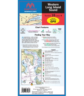
Maptech WPC016 - Western Long Island Sound Waterproof Chart, 4th Edition 2019
$26.95ISBN: 9780743612081
-
Block Island to Nantucket Waterproof Chart WPC019, 5th, 2016
$26.95ISBN: 0-74361-158-6 (0743611586 or 9780743611589)

