Sign up for our Newsletter
Sign up for our Newsletter
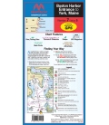
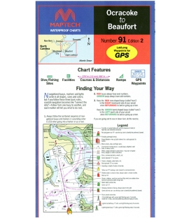
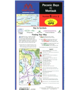
RM-C006
New product
Peconic Bays, Shelter Island, Gardiners Bay, Plum Gut, Napeague Bay, and Montauk area. Featuring GPS Waypoints, courses and distances, ramp locations, and fishing and wreck sites. 24" x 36", scale 1:50,000 with insets.
Maryland Nautical uses cookies to enhance your e-commerce experience. To view more information about our cookie use, click here to view our Privacy Policy.