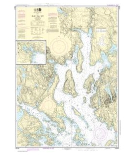
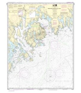
Mt. Desert Island to Machias Bay, 2nd Edition, 2012
Blue Hill Bay to Machias Bay. The best chart of Mt. Desert Island area! Featuring waypoints for major buoys, courses and distances, wreck sites, and ramp locations and information. 24" x 36", scale 1:57,140 with insets.
Maryland Nautical uses cookies to enhance your e-commerce experience. To view more information about our cookie use, click here to view our Privacy Policy.