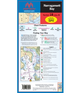
Maptech - Narragansett Bay, Waterproof Chart WPC018, 6th Edition, 2025
Narragansett Bay to Point Judith. Featuring GPS waypoints, anchorages, courses and distances, ramp locations, dive and fishing sites and illustrations of local gamefish. 24" x 36", scale 1:44,000 with insets.
Maryland Nautical uses cookies to enhance your e-commerce experience. To view more information about our cookie use, click here to view our Privacy Policy.