Sign up for our Newsletter
")
")
")
")
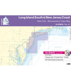
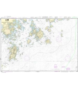
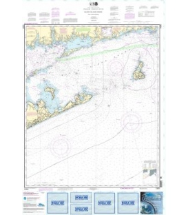
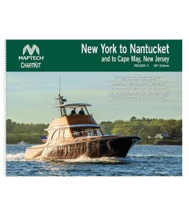
Chartkit Region 3: New York to Nantucket and to Cape May, New Jersey - 18th Edition (2023
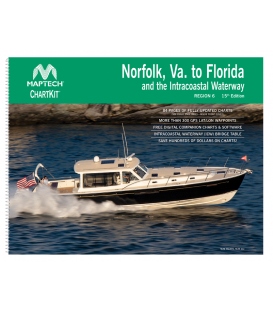
Maptech’s ChartKits® are full-color reproductions of NOAA charts bundled together in large cruising regions.
ChartKits® have been a mainstay of boating for generations—more than 1 million ChartKits® have been sold in the past 30 years! Chartbook Companion Software included free with continental ChartKit® books.
90 Chart Pages
A Great Value You’ll save up to 90% compared to the cost of purchasing individual government charts.
The Perfect Size Large enough to plot routes; small enough to fit on your lap.
Easy to Use Pre-plotted waypoints and lat/long grids for your GPS; magnetic courses for your compass.
Fully Referenced Geographic and alphabetical indexes quickly point you to the right page.
Reliable A great primary or secondary navigational reference.