- Home
- >
- Nautical Charts
- >
- Chart Books
- >
- NV-Charts
- >
- Region 3.2, Long Island Sound, 2010 Edition
Categories
- CLEARANCE
- New Editions
- Nautical Charts
- Nautical Books
- E-Readers & E-Books
- Occupational Safety & Health Administration (OSHA)
- Destinations
- Code of Federal Regulations (CFR)
- USCG Exam Study Materials
- International Maritime Org. (IMO)
- Sealite Aids to Marine Navigation
- Flags
- Digital Charts
- Nautical Software
- Marine Supplies
- Navigation Equipment
- Intracoastal Waterway
- Ocean Cruising
- Great Circle Route
- Gift Shop


Sign up for our Newsletter
NP-CK-03.2
New product
*** 23 Jul 2020, Discontinued, no longer produced by NV Charts
More info
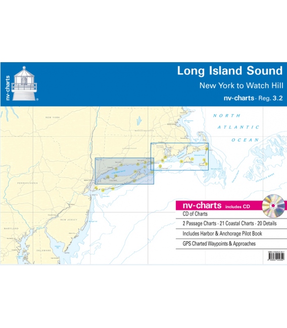
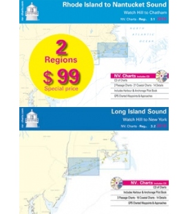
NV-Charts Reg. 3.2: Long Island Sound
• Watch Hill to New York
• CD of Charts
• Includes Harbour & Anchorage Pilot Book
• 2 Passage Charts - 21 Coastal Charts - 20 Details
• GPS Charted Waypoints & Approaches
| Practical to use and accurate in the information and data published: This is the basic concept with which we have developed the nv-charts and the Harbor & Anchorage Pilot Books. | ||||||||||||||||||||||||||||||||
|
|
|||||||||||||||||||||||||||||||
Reviews
30 other products in the same category:
Customers who bought this product also bought:
- About Us
- Our Services
- Ordering & Shipping
- Resource Links
- Blog
- CLEARANCE
- New Editions
- Nautical Charts
- Nautical Books
- E-Readers & E-Books
- Occupational Safety & Health Administration (OSHA)
- Destinations
- Code of Federal Regulations (CFR)
- USCG Exam Study Materials
- International Maritime Org. (IMO)
- Sealite Aids to Marine Navigation
- Flags
- Digital Charts
- Nautical Software
- Marine Supplies
- Navigation Equipment
- Intracoastal Waterway
- Ocean Cruising
- Great Circle Route
- Gift Shop
Accept
Maryland Nautical uses cookies to enhance your e-commerce experience. To view more information about our cookie use, click here to view our Privacy Policy.

