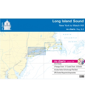
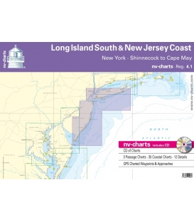
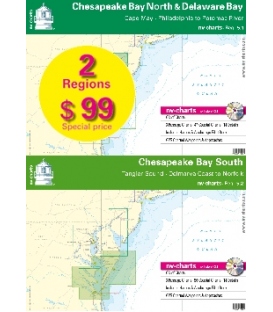
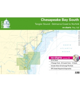
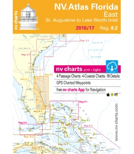
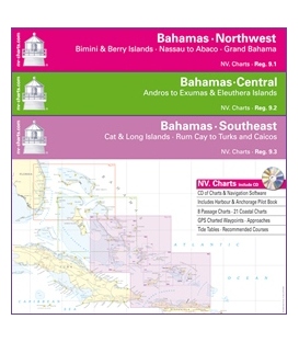
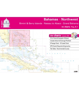
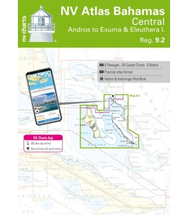
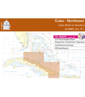
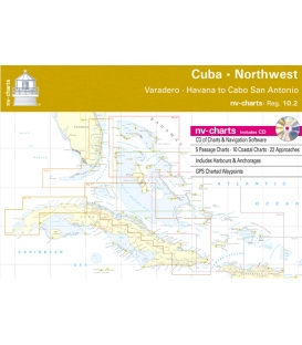
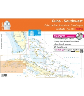
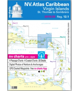
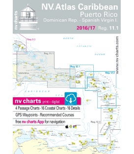
The NV Charts are characterized by fine contours and easy to distinguish color graduations of the depth lines – turquoise for coral reefs, red for the 2-meter-line and blue for the 5-m-areas.
Presented in a handy, user friendly size (23½’’ x 16 ½’’), a thick plastic envelope protects the charts, enabling them to be easily stored.
The importance of good graphical representation of the topography when sailing in the Caribbean is essential.
Well marked rivers, towns and street plans all help to give a clear overall view of the shoreside facilities of the islands. Red numbered waypoints with coordinates based on WGS 84 enable yachtsmen to navigate using their GPS instruments. Heights and depths are given in the internationally accepted format of meters. Large scale approaches and land contour markings simplify the entrance into anchorages.
Passage Charts
- C 1 Caicos Bank to Puerto Rico ·Dom. Rep. 1: 900.000
- C 2 Puerto Rico 1: 500.000
- C 3 Monte Cristi to Cabo Víejo Francés 1: 340.000
- C 4 Cabo Víejo Francés to Cabo Engaño 1: 340.000
- C 5 Mona Passage 1: 340.000
Coastal Charts
- C 6 Bahía de Samaná 1: 120.000
- C 7 Aguadilla de Rincón-Bahia de Jobos 1: 120.000
- C 8 Puerto Real to Guayanilla 1: 120.000
- C 9 Ponce to Bahía de Jobos 1: 120.000
- C10 Guayama to Roosevelt Roads 1: 120.000
- C11 Fajardo to Spanish Virgin Islands 1: 120.000
- C12 Bahía de San Juan to Cabo San Juan 1: 120.000
- C13 Arecibo to San Juan · Puerto Rico 1: 120.000
- C14 Punta Higuero to Arecibo 1: 120.000
- C15 Guánica to Bahía de Tallaboa 1: 40.000
- C16 Bahía de Tallaboa to Ponce 1: 40.000
- C17 Isla Caja de Muertos-Bahía de Rincón 1: 40.000
- C18 Bahía de Rincón to Bahia de Jobos 1: 40.000
- C19 Cabo San Juan to Fajardo 1: 40.000
- C20 Isla de Culebra 1: 40.000
Detail Charts
- C21A Bahía de Mayagüez · Puerto Rico 1: 40.000
- C21B Bahía de Boquerón · Puerto Rico 1: 40.000
- C22 San Juan · Puerto Rico 1: 20.000
- C23A Parguera · Puerto Rico 1: 40.000
- C23B Puerto Ferro to Puerto Real 1: 30.000
- C23C Ens. Honda Approach · Isla de Culebra 1: 20.000
- C24A Bahía de Fajardo · Puerto Rico 1: 15.000
- C24B Puerto del Rey · Puerto Rico 1: 10.000
- C24C Isabel Segunda · Isla de Vieques 1: 25.000
- C24D Naguabo · Puerto Rico 1: 40.000
- C24E Punta Arenas · Isla de Vieques 1: 35.000
- C24F Palmas del Mar · Puerto Rico 1: 10.000
- C25A Luperón · Dominican Rep. 1: 12.000
- C25B Puerto Plata · Dominican Rep. 1: 15.000
- C25C Marina Puerto Bahía · Dominican Rep. 1: 5.000
- C25D Ocean World Marina · Dominican Rep. 1: 6.000
- C25E Marina Cap Cana · Dominican Rep. 1: 15.000
Legend · General Notes · p.26


