

Sign up for our Newsletter
Richardson's Maptech
-
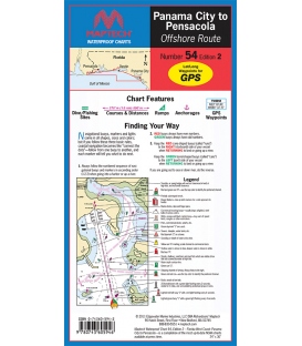
WPC054 Panama City to Pensacola - Offshore Route, 2nd Ed., 2011, Maptech Waterproof Chart
$26.95Unique Flip-Fold Charts for Use in Any Weather.Made from a durable, long-lasting, synthetic paper.24" x 36"Scale 1:106,666 with insets.
-
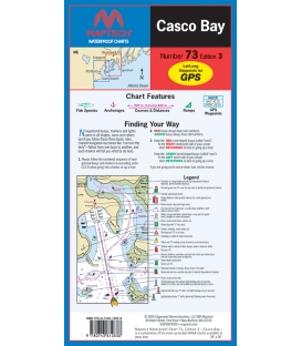
Maptech - Casco Bay Waterproof Chart WPC073, 3rd Edition, 2025
$26.95ISBN: 9780743612838Product ID: WPC073
-
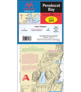
Maptech Waterproof Chart WPC074, Penobscot Bay, 3rd Edition, 2017
$26.95A great chart for exploring Penobscot Bay. Detailed insets of Rockland, Camden, Stonington, Fox Islands Thorofare, and The Reach. Features: waypoints for major buoys, courses and distances, and ramp locations. 24" x 36", scale 1:47,000, with insets.
-
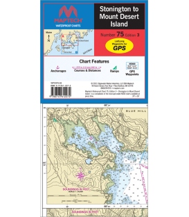
Maptech Waterproof Chart WPC075, Stonington to Mount Desert Island, 3rd Edition, 2021
$26.95This chart covers the myriad islands, harbors, and passages from Eggemoggin Reach and Eastern Penobscot Bay to Bar Harbor. Features: waypoints for major buoys, courses and distances, and ramp locations. 24" x 36", scale 1:47,000, with insets.
-
Maptech Waterproof Chart WPC084, Marblehead to Cape Ann, 3rd Edition, 2016
$26.95Detailed coverage from Marblehead, Salem and Beverly to Gloucester, Cape Ann, and Essex. Featuring GPS Waypoints, courses and distances, ramp locations, state parks, and fishing areas. 24" x 36", scales 1:25,000 and 1:26,666 with insets.
-
Martha's Vineyard to Nantucket Waterproof Chart WPC085, 2nd Edition, 2016
$26.95SBN: 0-74361-161-6 (074361-161-6 or 9780743611619)

