

Sign up for our Newsletter
Richardson's Maptech
-
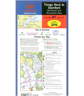
Maptech Waterproof Chart WPC087, Throgs Neck to Stamford, 1st Edition, 2003
*** Discontinued circa Apr. 2019, no longer available
-
Maptech Waterproof Chart WPC088, Greenwich to Norwalk and Oyster and Huntington Bays, 1st, 2003
*** Discontinued circa Apr. 2019, no longer available
-
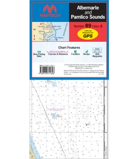
Albemarle & Pamlico Sounds Waterproof Chart WPC089, 3rd Edition, 2016
$26.95ISBN: 0-74361-162-4 (0743611624 or 9780743611626)
-
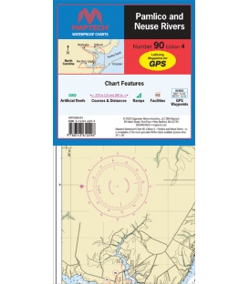
Maptech Waterproof Chart WPC090, Pamlico and Neuse Rivers, 4th Edition, 2020
$26.95Includes Washington, New Bern, Belhaven and the ICW by Goose Creek Island. Contains artificial reefs, courses and distances, boat ramps, marine facilities, GPS waypoints and illustrations of local gamefish. 24" x 36", scales 1:107,000 and 1:53,000.
-
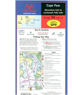
Maptech - Cape Fear (Masonboro Inlet to Lockwoods Folly Inlet) Waterproof Chart WPC092
*** Discontinued circa Apr. 2019, no longer available
-
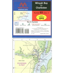
Maptech Waterproof Chart WPC093, Winyah Bay to Charleston, SC, 1st Edition, 2001
*** Discontinued circa Apr. 2019, no longer available
-
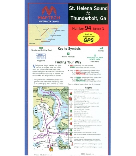
Maptech Waterproof Chart WPC094, St. Helena Sound to Thunderbolt, GA, 1st, Edition, 2001
*** Discontinued circa 2012, no longer available
-
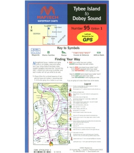
Maptech - Tybee Island to Doboy Sound Waterproof Chart WPC095
*** Discontinued, 11 Jul 2023
-
Maptech Waterproof Chart WPC097, Fernandina Beach to St. Augustine and Jacksonville, 2nd Edition, 2018
$26.95Inshore coverage of Florida�s First Coast & the Saint John�s River to Jacksonville. Contains pre-plotted GPS waypoints and courses, marine facilities, artificial reefs and wrecks, and gamefish. Approximate scales 1: 106,666 and 1: 26,666 with insets.
-
Maptech Waterproof Chart WPC098, Thunderbolt, GA to Fernandina Beach, FL, 1st Edition, 2001
*** Discontinued, no longer published (circa Fall 2020)
-
Maptech Waterproof Chart WPC099, Cape May, NJ to Savannah, GA, 2nd Edition, 2019
$26.95The chart for offshore fishing & cruising! Coverage from Delaware Bay to Georgia to 150 miles offshore. Over 30 pre-plotted GPS waypoints assigned to major aids to navigation along the coast to assist your voyage planning. Approximate scale 1:600,000.
-
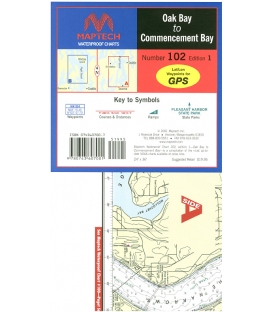
Maptech - Oak Bay to Commencement Bay Waterproof Chart WPC102, 1st Edition, 2001
*** Canceled, no replacement, 12 Nov 2024
-

