Sign up for our Newsletter


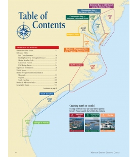
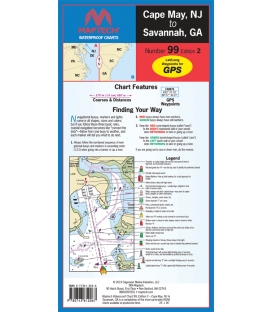
Maptech Waterproof Chart WPC099, Cape May, NJ to Savannah, GA, 2nd Edition, 2019
The chart for offshore fishing & cruising! Coverage from Delaware Bay to Georgia to 150 miles offshore. Over 30 pre-plotted GPS waypoints assigned to major aids to navigation along the coast to assist your voyage planning. Approximate scale 1:600,000.