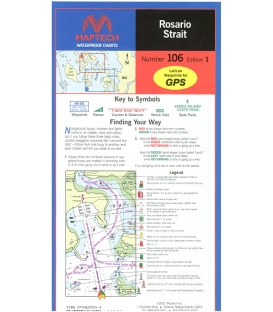
Rosario Strait, Includes Eastern Orcas and Lopez islands to Anacortes and Deception Pass. Featuring waypoints for major buoys and channels, pre-plotted courses and distances, public boat launch locations, and state park information. Approximate Scale 1:30,000.
Maryland Nautical uses cookies to enhance your e-commerce experience. To view more information about our cookie use, click here to view our Privacy Policy.