Sign up for our Newsletter


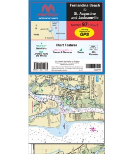
Maptech Waterproof Chart WPC097, Fernandina Beach to St. Augustine and Jacksonville, 2nd Edition, 2018

Inshore coverage of Florida�s First Coast & the Saint John�s River to Jacksonville. Contains pre-plotted GPS waypoints and courses, marine facilities, artificial reefs and wrecks, and gamefish. Approximate scales 1: 106,666 and 1: 26,666 with insets.