Sign up for our Newsletter
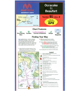
 Waterproof Chart")
 Waterproof Chart")
More info
Cape Fear (Masonboro Inlet to Lockwoods Folly Inlet), Ed. 1, Cape Fear to 25 miles offshore and coverage of the Cape Fear River, ICW, and Wrightsville Beach Inlet. Contains GPS waypoints and courses, marine facilities, boat ramps, and wrecks and artificial reefs. Approximate scales 1: 106,666 and 1: 53,333.