Sign up for our Newsletter
Sign up for our Newsletter
RM-C004
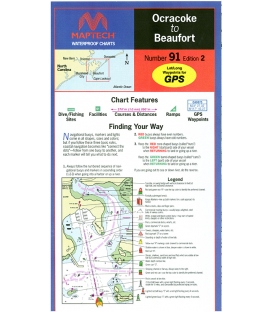
New product
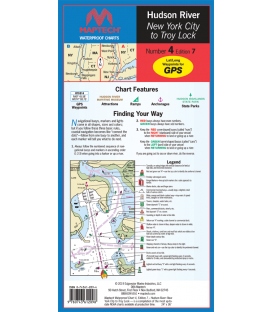
Liberty Island to the Troy Lock. The best chart for the Hudson! Featuring ramp locations, information and historic sites. 24" x 36", scale 1:44,444.
Maryland Nautical uses cookies to enhance your e-commerce experience. To view more information about our cookie use, click here to view our Privacy Policy.