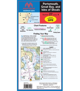
Maptech Waterproof Chart 27, Portsmouth, Great Bay, and Isles of Shoals, 4th Edition, 2021, Great Bay and Piscataqua River to Isles of Shoals. Featuring GPS Waypoints, courses and distances, ramp locations, state parks, and fishing areas. 24" x 36", scale 1:26,666 with insets.
Maryland Nautical uses cookies to enhance your e-commerce experience. To view more information about our cookie use, click here to view our Privacy Policy.