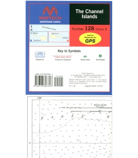
The Channel Islands, Ed. 1, The best waterproof chart for cruising around the Channel Islands! Includes Anacapa, Santa Cruz, Santa Rosa, and San Miguel islands. Contains pre-plotted anchorages, GPS waypoints, courses, and wrecks. 24Ó x 36Ó Approximate scale 1:53,333 with insets.
Maryland Nautical uses cookies to enhance your e-commerce experience. To view more information about our cookie use, click here to view our Privacy Policy.