Sign up for our Newsletter


More info
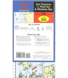
San Francisco to Point Sur & Monterey Bay, Ed. 1, A coastal chart on one side and large scale harbor insets on the other. GPS waypoints, pre-plotted courses and distances, marine facilities with service information, pumpout stations, and wreck sites. 24" x 36", scales 1:263,335 and 1:62,500 with insets