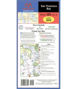
San Francisco Bay, Ed. 3, Covers the middle and southern Bay from Richmond to Palo Alto. Featuring GPS waypoints, pre-plotted courses and distances, 42 marine facilities with service information, state and federal parks. 24" x 36", scales 1:26,666 and 1:80,000 with insets.
Maryland Nautical uses cookies to enhance your e-commerce experience. To view more information about our cookie use, click here to view our Privacy Policy.


")
")