

Sign up for our Newsletter
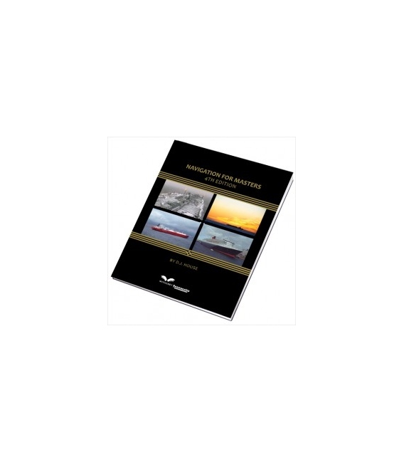
Navigation for Masters 4th Ed., 2012
Title: Navigation for Masters 4th Ed. Edition: Fourth
Number of Pages: 496
Product Code: ws1348K
ISBN: ISBN 13: 978-1-85609-403-0 (9781856094030), ISBN 10: 1-85609-403-0 (1856094030)
Published Date:
Binding Format: Hardback
Book Height: 246 mm
Book Width: 189 mm
Weight: 1.10 kg
Author: David J House
Witherbys Navigation for Masters 4th Ed., 2012
This latest edition of “Navigation for Masters” has been issued to ensure that current and future Master Mariners are kept upto date with the modern concepts and innovations affecting the safe passage throughout the maritime environment.
Contents:
Preface to Fourth Edition
About the Author
Acknowledgements
Abbreviations and Definitions
List of Illustrations
1 Bridge Procedures
1.1 The Navigational Watch
1.2 Calling the Master (by the OOW)
1.3 Standing Orders
1.4 Bridge Procedures
2 Navigation Precautions
2.1 Navigation in Fog
2.2 Proximity of Heavy Weather/Storm Conditions
2.3 Keeping a Proper Lookout
2.4 Watchkeeping and Special Traffic
3 Navigation in Port
3.1 Navigation Around and Engagement With Small Craft
3.2 Navigation and Manoeuvring with Tugs
3.3 The Dangers of Interaction
3.4 Restricted in Ability to Manoeuvre – Navigation Proximity
3.5 Moored Vessels and Associated Hazards
3.6 Pilots and Pilotage
4 Passage Planning
4.1 The Passage Plan
4.2 Position Fixing
4.3 Landfall Hazards and Coastal Navigation Practice
4.4 Carriage of Nautical Publications
4.5 Virtual Arrival
5 Ocean Passage Planning
5.1 Great Circle Sailing
5.2 Use of Gnomonic Charts
5.3 The Composite Great Circle
6 Ocean Routeing
6.1 The Shipowner’s Preference
6.2 Geographic Constraints and Fixed Parameters
6.3 Variable Parameters
6.4 Commercial Influences on Choice of Route
6.5 Route Choice
6.6 Maritime Navigation Transmissions
6.7 Routeing Charts – Relevant Information and Usage
6.8 Climatic Routeing
7 Ocean Currents
7.1 Ocean Current Types
7.2 Ocean Current References
7.3 North Atlantic Currents
7.4 South Atlantic Currents
7.5 North Pacific Currents
7.6 South Pacific Currents
7.7 Indian Ocean Currents
7.8 Bay of Bengal and Arabian Sea
7.9 Current Movement (Atlantic and Pacific)
8 Ice Navigation
8.1 Ice Examples – Encountered at Sea
8.2 Arctic Region
8.3 Antarctic Region
8.4 Signs of the Proximity of Ice
8.5 Ice Detection by Radar
8.6 Operational Navigation in Ice Regions
8.7 Navigation in High Latitudes
8.8 Ice Convoys – Instructions for Operations
8.9 Navigation in Cold Climates
9 Tropical Revolving Storms and Abnormal Weather Phenomena
9.1 TRS Features
9.2 Masters’ Actions
9.3 TRS – Avoiding Action (Vessel at Sea)
9.4 Tornadoes and Waterspouts
9.5 Tidal Bores
9.6 Tsunamis
10 SAR Navigation and GMDSS
10.1 Action on Receipt of Distress Message
10.2 DSC Distress Alerts
10.3 The role of the On-scene Coordinator (OSC)
10.4 The Role of the Bridge Team
10.5 IAMSAR Search Patterns
10.6 Distress Alert Procedures
10.7 Global Maritime Distress and Safety System (GMDSS)
10.8 Ship Reporting Systems
10.9 Rendezvous Problems
10.10 Termination of Distress Situation and/or Search Procedure
11 Marine Helicopter Operations
11.1 Routine Helicopter Engagement
11.2 Master’s Duties – Prior to Operation
11.3 Helicopter to Ship Recognition
11.4 Air to Surface Communications in Routine Helicopter Activity
11.5 Air Support
11.6 Helicopter Recovery
11.7 Helicopter Recognition
11.8 Helicopter Evacuation Check-off List (MEDIVAC)
12 Offshore Navigation
12.1 Types of Offshore Structures
12.2 Navigation in Offshore Operational Areas
12.3 Useful Sources of Information
13 Tide Calculations
13.1 Tidal/Tides – Definitions
13.2 Standard Port Tide Examples
13.3 Co-tidal/Co-range Charts
13.4 Pacific Tidal Calculations
13.5 Pacific Tidal Stream Examples
13.6 Tidal Predictions by Computer Software
14 Sources of Navigational Information Charts and Publications
14.1 The Navigational Chart
14.2 The Worldwide Navigational Warning System (WWNWS)
15 Electronic Navigational Systems
15.1 Required Bridge Equipment
15.2 S-Mode
15.3 ECDIS
15.4 The Integrated Navigation System
15.5 Gyro Compasses
15.6 Autopilots
15.7 Radar
15.8 Automatic Radar Plotting Aid (ARPA)
15.9 Echo Sounder
15.10 Marine Speed Logs
15.11 Automatic Identification System (AIS)
15.12 Long Range Identification and Tracking (LRIT)
15.13 Voyage Data Recorder (VDR)
15.14 Bridge Navigational Watch Alarm System (BNWAS)
15.15 Global Positioning System (GPS)
15.16 Differential GPS (DGPS)
15.17 Galileo
15.18 Dynamic Positioning (DP)
15.19 The Global Maritime Distress and Safety System (GMDSS)
15.20 Navtex
15.21 The NIS Quick Reference OAB Distribution
15.22 SOLAS Chapter V (Incorporating 2009 Amendments)
Navigation Self-Examiner
Bibliography
Geographic Index
Index

