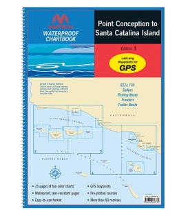
WPB Point Conception to Santa Catalina Islands, 1st Ed.

RMCB-PC-SCI-WP

New product

*** 3 Jul 2017, Canceled, no replacement. Alternatives are:

A. ChartKit - Southern California (RMCK-04) or

B. Individual NOS charts from OceanGrafix (Pacific Coast)

More details

Shipping Rates

 
More info

Includes the Channel Islands and detailed harbor charts for the mainland ports including LosAngeles/Long Beach. 25 chart pages, GPS waypoints, Lat./Long. grids, courses, anchorages, ramps, and marinas. 12" x 17", scales 1: 870,000 to 1:10,000. ISBN:

Reviews

30 other products in the same category:

QR code

Top
Accept

Maryland Nautical uses cookies to enhance your e-commerce experience.  To view more information about our cookie use, click here to view our Privacy Policy