Sign up for our Newsletter


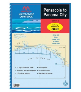
WPB Pensacola to Panama City, 1st Ed.
Sign up for our Newsletter
RMCB--P/PC
New product
Maryland Nautical uses cookies to enhance your e-commerce experience. To view more information about our cookie use, click here to view our Privacy Policy.