Sign up for our Newsletter
Sign up for our Newsletter
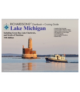
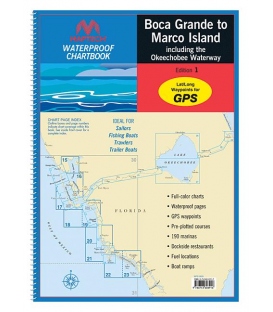
RMCB-BG/MI-WP
New product
*** Discontinued, circa Spring 2019
Maryland Nautical uses cookies to enhance your e-commerce experience. To view more information about our cookie use, click here to view our Privacy Policy.