Sign up for our Newsletter
")
")
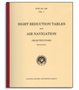
The Sight Reduction Tables for Air Navigation consist of three volumes of comprehensive tables of altitude and azimuth designed for the rapid reduction of astronomical sights in the air. This volume (Volume 3), for latitudes 39°- 89°, and Volume 2 for latitudes 0°- 40°, provide for sights of the Sun, Moon, and planets; these tables are permanent. Volume 1 contains tables for selected stars for all latitudes, calculated for a specific epoch; it is intended for use for about 5 years, when it will be replaced by a new edition based on a later epoch.
DESCRIPTION OF THE TABLES
These tables, designated as Volume 3 of the three-volume series of Pub. No. 249, Sight Reduction Tables for Air Navigation, together with the similar Volume 2, supplement Volume 1 containing tabulations for selected stars. They together contain values of the altitude (to the nearest minute) and the azimuth angle (to the nearest degree) for integral degrees of declination from 29° north to 29° south, for the complete range of latitude and for all hour angles at which the zenith distance is less than 95° (97° between latitudes 70° and the poles); provision is made for interpolation for declination. As in Volume 1, no correction for refraction has been included in the tabulated altitudes; azimuth angle is given in contrast to the azimuth for the selected stars. Volume 2 caters for latitudes 0°- 40° and Volume 3 for latitudes 39°- 89°; they are divided purely for convenience in handling, and are otherwise similar in all respects.
The tables have been designed for use with the Air Almanac in the reduction of sights of the Sun, Moon and planets; they may also be used for stars with declinations less than 30° north or south. A list of the 57 navigational stars, with their positions, is given on page (iii), as well as in the Air Almanac.
Their compact arrangement reflects the desire to include the maximum amount of data in the smallest practicable space. The range of declination, and the extension to negative altitudes, explains the necessity for arranging the tables across the length of the page.