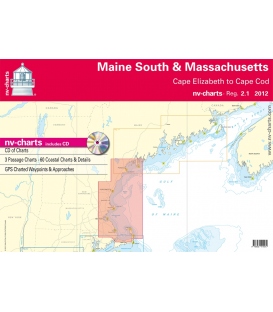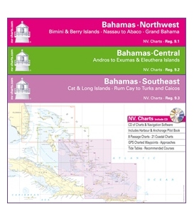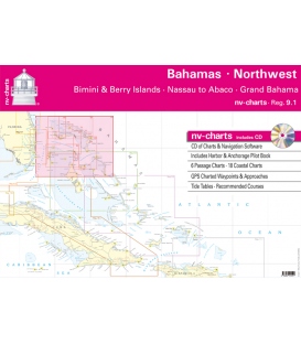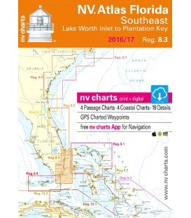

NV Charts Reg. 9.2, Bahamas Central, Andros to Exumas & Eleuthera Islands
Format: Kombipack Papier / Digital download and App
- 4 Overview charts
- 20 Coastal charts & Details
- Includes Harbor & Anchorage Pilot book
- GPS Charted Waypoints - Approaches
- Tide Tables - Recommended Course
- Pilot book
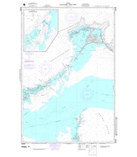
The NV Charts are characterized by fine contours and easy to distinguish color graduations of the depth lines – turquoise for coral reefs, red for the 2-meter-line and blue for the 5-m-areas.
Presented in a handy, user friendly size (23½’’ x 16 ½’’), a thick plastic envelope protects the charts, enabling them to be easily stored.
The importance of good graphical representation of the topography when sailing in the Caribbean is essential.
Well marked rivers, towns and street plans all help to give a clear overall view of the shoreside facilities of the islands. Red numbered waypoints with coordinates based on WGS 84 enable yachtsmen to navigate using their GPS instruments. Heights and depths are given in the internationally accepted format of meters. Large scale approaches and land contour markings simplify the entrance into anchorages.
Overview charts
- B0 Caribbean Sea 1: 6,500,000
- C1 Central Bahamas 1: 900.000
- C2 Tongue of the Ocean 1: 340.000
- C3A Andros East Coast · North 1: 200,000
- C3B Andros East Coast · Middle 1: 200,000
- C3C Andros East Coast · South 1: 200,000
- C4 Exuma Sound 1: 340.000
- C5 Bight of Eleuthera 1: 340.000
Coastal Charts
- C6 Eleuthera Island North 1: 90,000
- C7 Eleuthera Island West 1: 90,000
- C8 Eleuthera Island East 1: 90,000
- C9 Eleuthera Island South 1: 60,000
- C10 Eleuthera I. · Spanish Wells to Hbr. I. 1: 90,000
- C11 Six Shilling Cay to Beacon Cay 1: 40,000
- C12 Exumas · Sail Rocks to Long Rock 1: 90,000
- C13 Exumas · Long Rock to Wax Cay 1: 40,000
- C14 Exumas · Wax Cay to Cistern Cay 1: 40,000
- C15 Exumas · Cistern Cay to Bell Island 1: 40,000
- C16 Exumas · Bell Island to Staniel Cay 1: 40,000
- C17 Exumas · Staniel to Great Guana Cay 1: 40,000
- C18 Exumas · Gr. Guana to Big Farmers Cay 1: 40,000
- C19 Exumas · Big Farmers to Bock Cay 1: 40,000
- C20 Exumas · Bock Cay to Gr Exumas 1: 40,000
- C21 Exumas · Great Exumas I. North 1: 40,000
- C22 Exumas · Great Exumas I. South 1: 40,000
- C23 Exumas · Lt. Exumas I. to Hog Cay 1: 40,000
- C25B Andros · Fresh Creek 1: 40,000
- C25C Andros · Morgans Bluff 1: 40,000
Details
- C24A Compass to Sampson Cay 1: 25,000
- C24B Exumas · George Town Approaches 1: 20,000
- C25A Warderick Wells Cay 1: 12,000
Legend · General Notes p.27
Tide Tables p.28
Harbor & Anchorage Pilot Book attached
Dimensions: 17 in × 12 in × 0.5 in