Sign up for our Newsletter
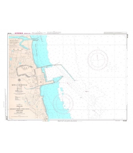
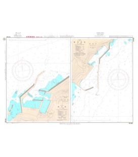
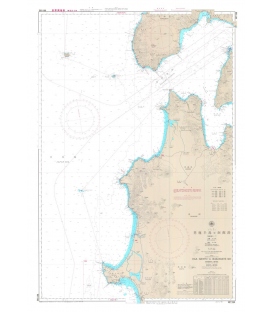
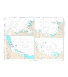
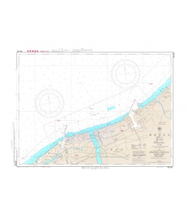
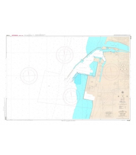
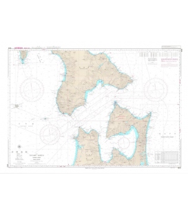
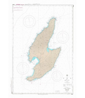
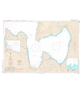
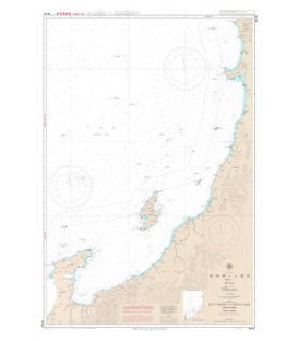
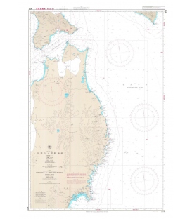
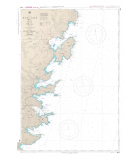
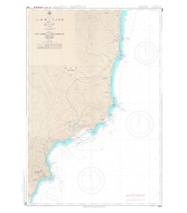
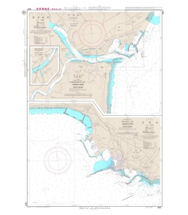
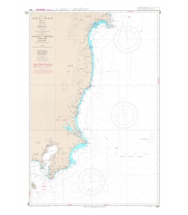
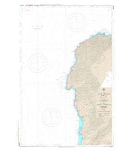
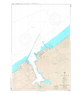
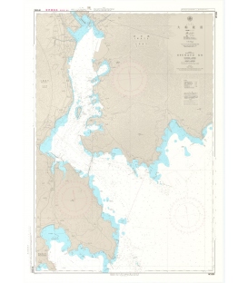
JHA-W1161
New product
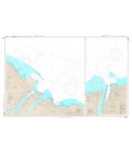
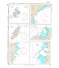
Taki Ko to Wajima Ko (1:75,000)
Plan: Taki Ko (1:15,000)
Geodetic Datum: The World Geodetic System 84(WGS-84)
Language: Japanese/English
Published Date (Y/M): 2021-01
Maryland Nautical uses cookies to enhance your e-commerce experience. To view more information about our cookie use, click here to view our Privacy Policy.