Sign up for our Newsletter


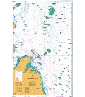
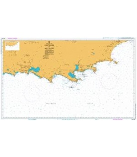
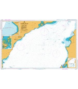
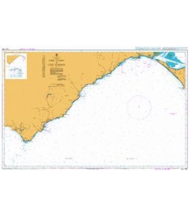
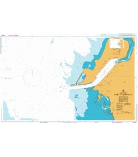
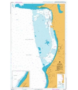
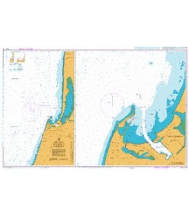
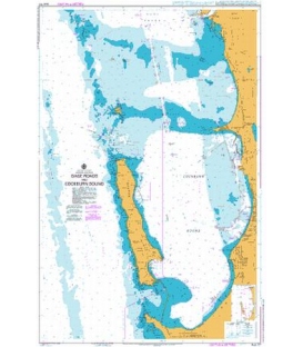
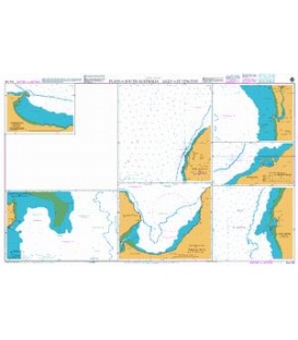
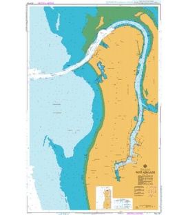
British Admiralty Australian Nautical Chart AUS69 Plans of Ports of Ashburton and Onslow
is corrected up to date. Admiralty standard nautical charts comply with Safety of Life at Sea (SOLAS) regulations and are ideal for professional, commercial and recreational use. Charts within the series consist of a range of scales, useful for passage planning, ocean crossings, coastal navigation and entering port. Mariners should always use the largest scale nautical chart appropriate to their needs. In particularly busy seaways such as the English Channel, Gulf of Suez and the Malacca and Singapore Straits, the standard nautical charts are supplemented by mariners routeing guides which provide advice on route planning in these complex areas.
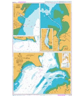
Aus69 Australia - North West Coast, Western Australia, Plans of Ports of Ashburton and Onslow.
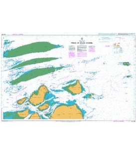
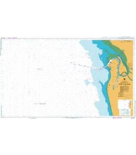
Port of Ashburton.
21° 38´·91 S. — 21° 41´·60 S., 114° 59´·00 E. — 115° 02´·79 E. 1:10,000
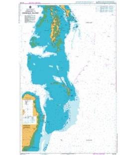
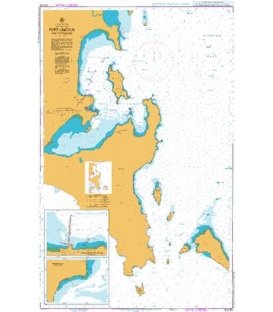
Onslow.
21° 36´·04 S. — 21° 39´·40 S., 115° 03´·84 E. — 115° 08´·57 E. 1:12,500
A new chart providing improved coverage of Port Ashburton and Onslow.
Note: This chart is to be deleted from the list of charts affected by Notice 5327(T)/15. This chart remains affected by Notice 6109(T)/15.