Sign up for our Newsletter


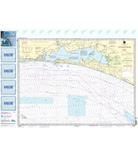
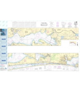
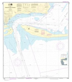
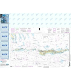
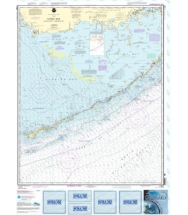
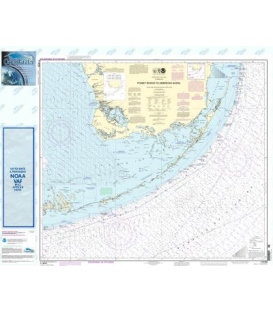
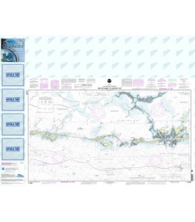
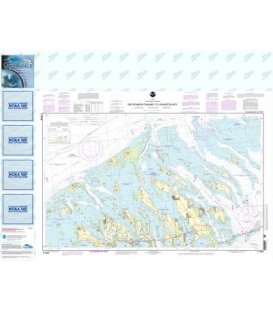
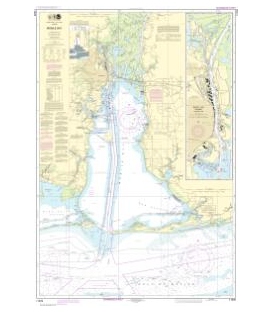
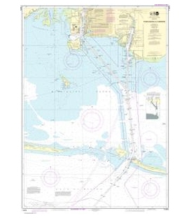
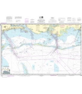
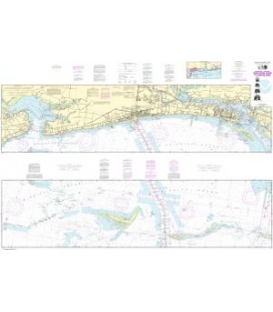
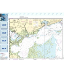
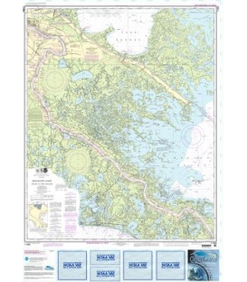
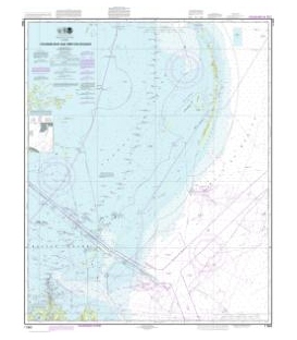
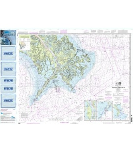
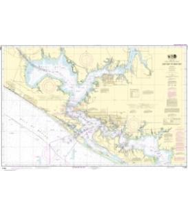
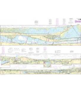
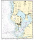
NOAA Chart 11411 Intracoastal Waterway Tampa Bay to Port Richey
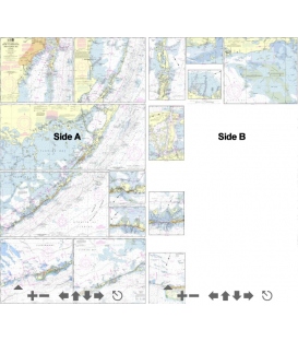
*** Note: This is a NOS Small-Craft chart as a single flat sheet. It is NOT folded.
Scale: 40,000
Paper Size: 42.0" x 63.0"
Actual Chart Size: 58.3" x 40.7"
OceanGrafix Edition #: 25*
OceanGrafix Edition Date: 2023-07-17*
Online Chart Viewer
The chart you are viewing is NOT updated weekly and does NOT include all of the latest Notice to Mariners corrections.
NOAA Chart 11411 Intracoastal Waterway Tampa Bay to Port Richey
OceanGrafix, an experienced producer of digital print materials, has partnered with the National Oceanic and Atmospheric Administration (NOAA) to provide commercial and recreational mariners with the most up-to-date nautical charts ever offered! Orders placed with Maryland Nautical for these charts can now be printed at our location, at just one minute printing time per chart. This process will ensure your receive the most up-date information available! Please noted: due to dated material NO RETURN or EXCHANGE Policy on the Print-on-Demand nautical charts.
Please noted: due to dated material NO RETURN or EXCHANGE Policy on the Print-on-Demand nautical charts.