Sign up for our Newsletter


More info
The Ships Atlas, 19th Edition 2022
The 19th Edition of The Ships Atlas builds upon over 30 years of port information research to provide its readers with location information and essential data on global ports and terminals.
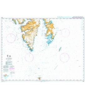
This publication has three distinct sections starting with themed global maps on topical maritime subjects such as MARPOL regulations, followed by over 60 pages of detailed map content created by our in-house cartographer Tony Gawn, and finishing with the comprehensive port and terminal index which provides more detail about the ports and terminals depicted within the map section.
The Ships Atlas enables you to:
- Obtain the precise coordinates of global ports, harbours, terminals and marine facilities
- Identify which specific facilities are available at that port using the port symbols
- Gather further port statistics and information from the index
- Obtain further regional specific details
- Determine the distance to other international ports using our distance tables
- View maps providing a wealth of useful information including Maritime Piracy Incidents, International Load Line Zones and Areas, Sensitive Sea Areas, MARPOL 73/78, Global Wind Patterns, Countries, Standard Time Zones, Ocean Currents, International Navigating Conditions and Global Distribution of Major Diseases (many sold separately)
- Access more comprehensive information on shipping facilities than any other commercial shipping atlas available including, the lat/long, UNLOCODE, maximum size vessel permissible, nearest airport, fuel and medical availability
Key Features
- 17,000 ports, harbours, terminals, marine facilities and places
- 200 full colour maps
- 12 maritime themed A3 maps (many sold separately). These include:
- International Load Line Zones and Areas
- Sensitive Sea Areas
- MARPOL 73/78
- Emissions Regulations
- Global Wind Patterns
- Maritime Piracy Incidents
- Countries
- Standard Time Zones
- Ocean Currents
- International Navigating Conditions
- Global Distribution of Major Diseases
- Shipping Chokepoints.
- Unique port symbols detailing types of cargo handled at that port and the drydock availability
- Regional and international distance tables
- Comprehensive port information index detailing:
- UNLOCODEs
- Latitude and longitude
- Maximum size vessel permissible
- Nearest airport
- Fuel availability
- Medical availability
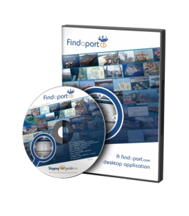
- Includes FindaportCD, providing users with digital access to port locations and information
New to this edition
- 432 new ports have been added to the map and index content
- over 3,000 updates to the map and index content
- To provide greater coverage of congested areas, 2 new detailed maps have been added - 'Western Coast of North America' and 'The Philippines'
- The MARPOL 73/78 map now features the forthcoming amendments to Annex VI regarding the Baltic Sea, North Sea and North West European Waters ECAs.
- The Sensitive Sea Areas map has been completely revised with an improved layout, and inclusion of the protective measures required within each PSSA and their respective IMO MEPC Endorsement for reference.
- The Shipping Chokepoints map has been improved and expanded to include a further 20 congested areas. In addition each area includes a brief overview with details including the average transit time.
- All maps have been revised and index content reviewed