- Home
- >
- Nautical Charts
- >
- Japan Hydrographic Association (JHA)
- >
- Northern Part of Honshu
- >
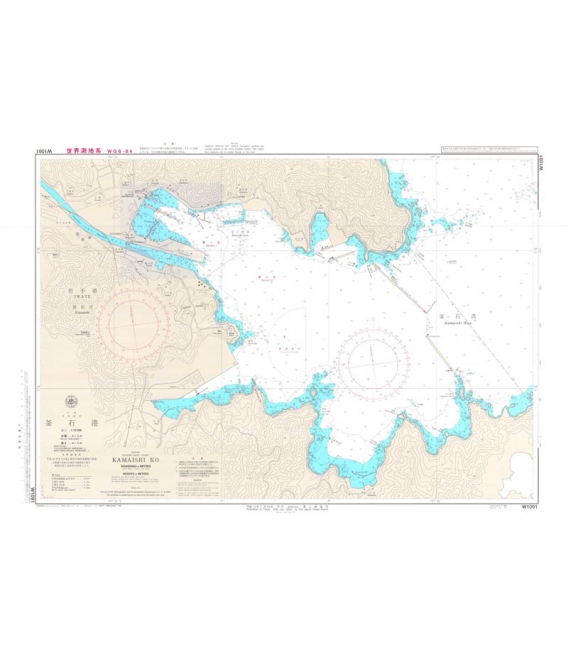
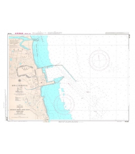
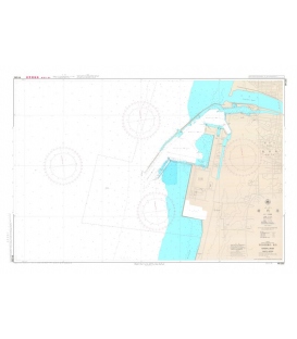
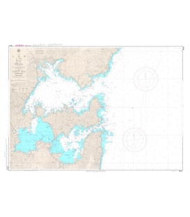
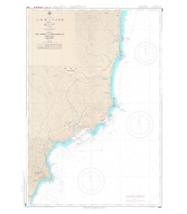
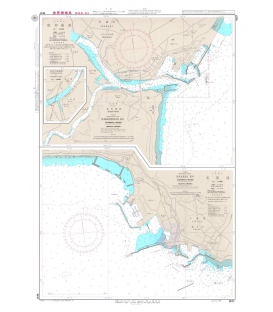
- W1091 Kamaishi Ko
Categories
- CLEARANCE
- New Editions
- Nautical Charts
- Nautical Books
- E-Readers & E-Books
- Occupational Safety & Health Administration (OSHA)
- Destinations
- Code of Federal Regulations (CFR)
- USCG Exam Study Materials
- International Maritime Org. (IMO)
- Sealite Aids to Marine Navigation
- Flags
- Digital Charts
- Nautical Software
- Marine Supplies
- Navigation Equipment
- Intracoastal Waterway
- Ocean Cruising
- Great Circle Route
- Gift Shop


Sign up for our Newsletter
JHA-W1091
New product
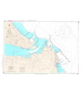
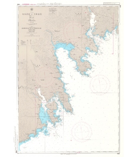
Scale: 1/10,000
Geodetic Datum: The World Geodetic System 84(WGS-84)
Language: Japanese/English
Published Date (Y/M):2020-10
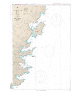
W1091 Kamaishi Ko
Nautical Charts are published to cover the Japanese coasts, Pacific and Indian Oceans and their adjacent seas. They are mainly constructed on Mercator's projection, and most of those charts covering the waters around Japan at a scale smaller than 1:100,000 are compiled at the scale based on the length of the longitude at Lat. 35 degrees
Japanese official paper charts published by the Japan Coast Guard (JCG). All W charts are written in bilingual, Japanese and English. The color of land is printed in grey.
Reviews
30 other products in the same category:
- About Us
- Our Services
- Ordering & Shipping
- Resource Links
- Blog
- CLEARANCE
- New Editions
- Nautical Charts
- Nautical Books
- E-Readers & E-Books
- Occupational Safety & Health Administration (OSHA)
- Destinations
- Code of Federal Regulations (CFR)
- USCG Exam Study Materials
- International Maritime Org. (IMO)
- Sealite Aids to Marine Navigation
- Flags
- Digital Charts
- Nautical Software
- Marine Supplies
- Navigation Equipment
- Intracoastal Waterway
- Ocean Cruising
- Great Circle Route
- Gift Shop

