Sign up for our Newsletter


More info
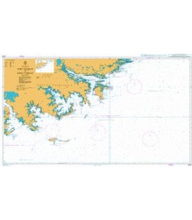
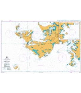
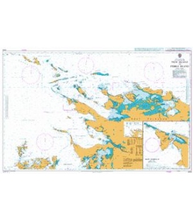
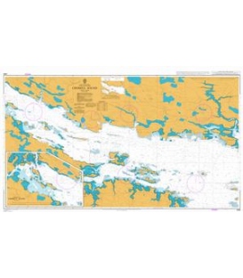
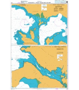
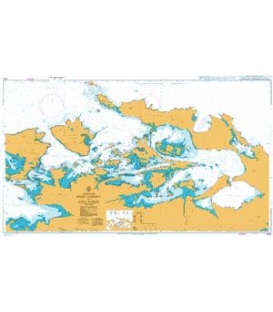
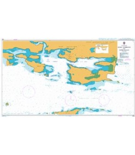
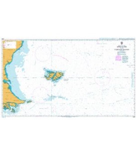
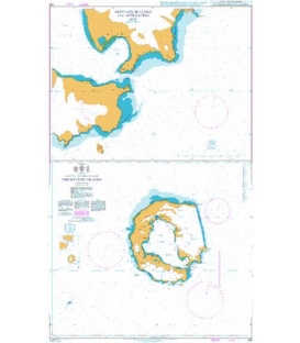
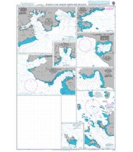
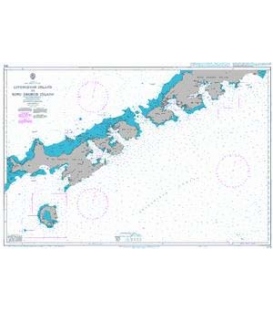
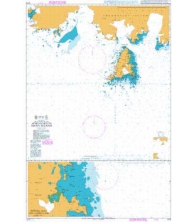
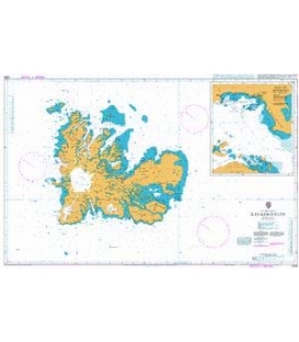
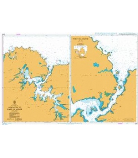
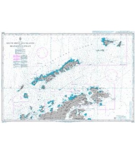
British Admiralty Nautical Chart 3213 Plans in Graham Land
is corrected up to date. Admiralty standard nautical charts comply with Safety of Life at Sea (SOLAS) regulations and are ideal for professional, commercial and recreational use. Charts within the series consist of a range of scales, useful for passage planning, ocean crossings, coastal navigation and entering port. Mariners should always use the largest scale nautical chart appropriate to their needs. In particularly busy seaways such as the English Channel, Gulf of Suez and the Malacca and Singapore Straits, the standard nautical charts are supplemented by mariners routeing guides which provide advice on route planning in these complex areas.
Chart 3213
Main Chart Details
- Chart Title: Plans in Graham Land
- Publication Date: 12/08/1960
- Latest Edition date: 10/08/1973
- Chart Size: 975 x 620 (mm)
Chart Panel Details
- Panel Name Melchior Islands
- Area Name Palmer Archipelago
- Natural Scale 35000
- North Limit 64 15'.08S
- East Limit 62 51'.00W
- South Limit 64 21'.87S
- West Limit 63 03'.35W
- Panel Name Port Lockroy
- Area Name Palmer Archipelago
- Natural Scale 10000
- North Limit 64 48'.46S
- East Limit 63 28'.45W
- South Limit 64 49'.82S
- West Limit 63 32'.07W
- Panel Name Approaches to Danco Island
- Area Name Gerlache Strait
- Natural Scale 50000
- North Limit 64 42'.03S
- East Limit 62 30'.30W
- South Limit 64 46'.42S
- West Limit 62 41'.07W
- Panel Name Detaille Island
- Area Name Loubet Coast
- Natural Scale 7500
- North Limit 66 51'.45S
- East Limit 66 47'.27W
- South Limit 66 52'.20S
- West Limit 66 49'.03W
- Panel Name Hackapike Bay
- Area Name Palmer Archipelago
- Natural Scale 15000
- North Limit 64 30'.56S
- East Limit 62 52'.40W
- South Limit 64 31'.54S
- West Limit 62 55'.60W
- Panel Name Neny Island
- Area Name Marguerite Bay
- Natural Scale 50000
- North Limit 68 11'.00S
- East Limit 66 55'.10W
- South Limit 68 13'.95S
- West Limit 67 08'.30W
- Panel Name Arthur Harbour
- Area Name Palmer Archipelago
- Natural Scale 12500
- North Limit 64 45'.82S
- East Limit 64 02'.81W
- South Limit 64 46'.79S
- West Limit 64 05'.56W
- Panel Name Lystad Bay
- Area Name Marguerite Bay
- Natural Scale 50000
- North Limit 67 46'.80S
- East Limit 67 13'.71W
- South Limit 67 52'.25S
- West Limit 67 26'.48W
- Panel Name Mutton Cove
- Area Name Grandidier Channel
- Natural Scale 10000
- North Limit 65 59'.86S
- East Limit 65 38'.40W
- South Limit 66 00'.56S
- West Limit 65 40'.70W
- Panel Name Approaches to Prospect Point
- Area Name Graham Coast
- Natural Scale 50000
- North Limit 65 58'.88S
- East Limit 65 18'.46W
- South Limit 66 01'.84S
- West Limit 65 29'.59W
- Panel Name Hope Bay
- Area Name Trinity Peninsula
- Natural Scale 30000
- North Limit 63 22'.33S
- East Limit 56 53'.53W
- South Limit 63 25'.47S
- West Limit 57 04'.50W
- Panel Name Debenham Islands
- Area Name Marguerite Bay
- Natural Scale 25000
- North Limit 68 07'.33S
- East Limit 67 00'.65W
- South Limit 68 09'.09S
- West Limit 67 11'.69W