Sign up for our Newsletter


More info
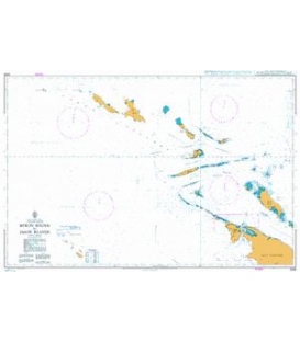
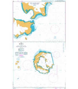
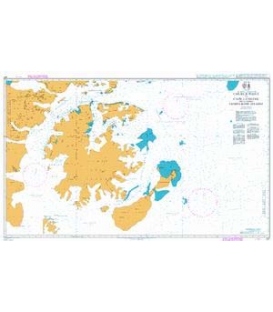
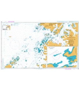
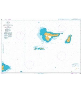
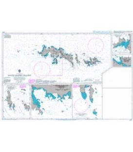
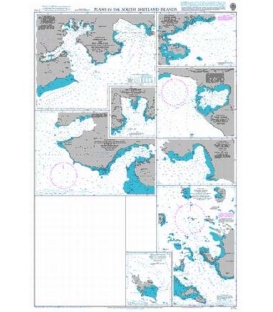
British Admiralty Nautical Chart 1774 Plans in the South Shetland Islands
is corrected up to date. Admiralty standard nautical charts comply with Safety of Life at Sea (SOLAS) regulations and are ideal for professional, commercial and recreational use. Charts within the series consist of a range of scales, useful for passage planning, ocean crossings, coastal navigation and entering port. Mariners should always use the largest scale nautical chart appropriate to their needs. In particularly busy seaways such as the English Channel, Gulf of Suez and the Malacca and Singapore Straits, the standard nautical charts are supplemented by marinersÕ routeing guides which provide advice on route planning in these complex areas.
Chart 1774
Main Chart Details
- Chart Title: Plans in the South Shetland Islands
- Publication Date: 14/09/1962
- Latest Edition date: 28/10/1994
- Chart Size: 645 x 950 (mm)
Chart Panel Details
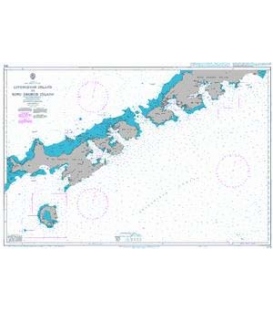
- Panel Name Admiralty Bay and King George Bay
- Area Name King George Island
- Natural Scale 100000
- North Limit 62 03'.00S
- East Limit 57 55'.00W
- South Limit 62 19'.50S
- West Limit 58 39'.00W
- Panel Name Visca Anchorage
- Area Name Admiralty Bay
- Natural Scale 25000
- North Limit 62 03'.80S
- East Limit 58 20'.80W
- South Limit 62 05'.90S
- West Limit 58 24'.90W
- Panel Name Marian Cove and Potter Cove
- Area Name King George Island
- Natural Scale 25000
- North Limit 62 12'.30S
- East Limit 58 39'.30W
- South Limit 62 15'.90S
- West Limit 58 50'.44W
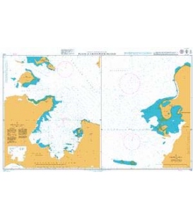
- Panel Name Desolation Island
- Natural Scale 50000
- North Limit 62 24'.95S
- East Limit 60 15'.50W
- South Limit 62 29'.40S
- West Limit 60 23'.50W
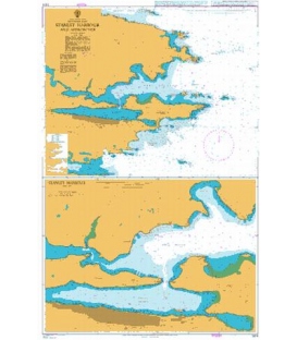
- Panel Name Yankee Harbour
- Area Name Greenwich Island
- Natural Scale 15000
- North Limit 62 30'.90S
- East Limit 59 45'.60W
- South Limit 62 32'.70S
- West Limit 59 49'.92W
- Panel Name Harmony Cove
- Area Name Nelson Island
- Natural Scale 25000
- North Limit 62 18'.09S
- East Limit 59 07'.84W
- South Limit 62 20'.03S
- West Limit 59 15'.00W
- Panel Name English Strait (Northern Entrance)
- Area Name Robert Island
- Natural Scale 30000
- North Limit 62 19'.00S
- East Limit 59 40'.00W
- South Limit 62 25'.20S
- West Limit 59 48'.60W
- Panel Name Ardley Cove
- Area Name King George Island
- Natural Scale 30000
- North Limit 62 11'.10S
- East Limit 58 49'.65W
- South Limit 62 13'.77S
- West Limit 58 58'.20W