Sign up for our Newsletter


More info
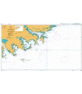
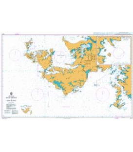
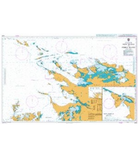
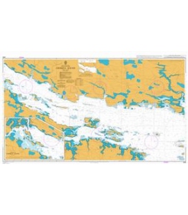
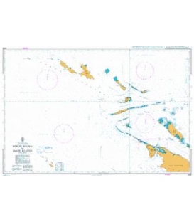
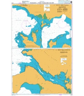
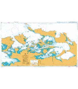
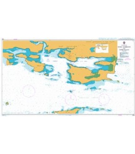
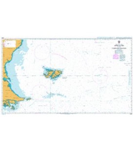
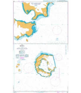
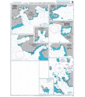
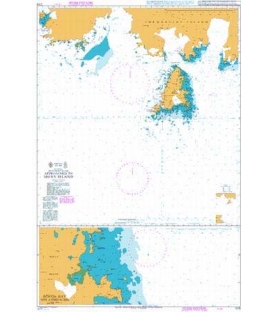
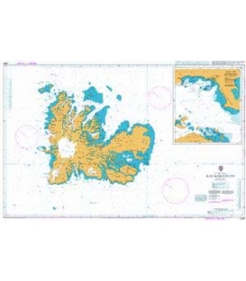
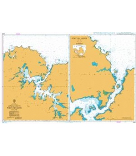
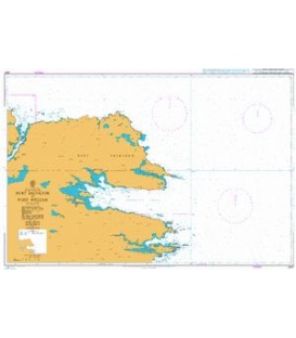
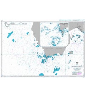
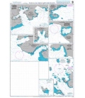
British Admiralty Nautical Chart 1775 South Orkney Islands
is corrected up to date. Admiralty standard nautical charts comply with Safety of Life at Sea (SOLAS) regulations and are ideal for professional, commercial and recreational use. Charts within the series consist of a range of scales, useful for passage planning, ocean crossings, coastal navigation and entering port. Mariners should always use the largest scale nautical chart appropriate to their needs. In particularly busy seaways such as the English Channel, Gulf of Suez and the Malacca and Singapore Straits, the standard nautical charts are supplemented by marinersÕ routeing guides which provide advice on route planning in these complex areas.
Chart 1775
Main Chart Details
- Chart Title: South Orkney Islands
- Publication Date: 17/08/1934
- Latest Edition date: 16/01/1997
- Chart Size: 989 x 659 (mm)
Chart Panel Details
- Panel Name South Orkney Islands
- Natural Scale 200000
- North Limit 60 20'.57S
- East Limit 44 04'.50W
- South Limit 61 00'.58S
- West Limit 47 04'.42W
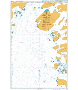
- Panel Name Plan A - Powell Island and Washington Strait
- Natural Scale 100000
- North Limit 60 34'.75S
- East Limit 44 44'.69W
- South Limit 60 48'.42S
- West Limit 45 06'.80W
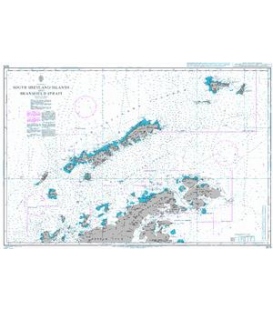
- Panel Name Plan B - Scotia Bay and Mill Cove
- Natural Scale 25000
- North Limit 60 43'.88S
- East Limit 44 33'.86W
- South Limit 60 47'.36S
- West Limit 44 42'.28W
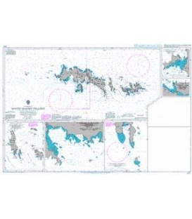
- Panel Name Plan C - Ellefsen Harbour
- Natural Scale 12500
- North Limit 60 43'.37S
- East Limit 44 59'.53W
- South Limit 60 45'.11S
- West Limit 45 02'.53W
- Panel Name Plan G - Sandefjord Bay
- Natural Scale 25000
- North Limit 60 35'.20S
- East Limit 46 00'.61W
- South Limit 60 37'.18S
- West Limit 46 04'.48W
- Panel Name Plan F - Uruguay Cove
- Natural Scale 25000
- North Limit 60 43'.14S
- East Limit 44 40'.30W
- South Limit 60 44'.35S
- West Limit 44 44'.17W
- Panel Name Plan E - Borge Bay
- Natural Scale 12500
- North Limit 60 41'.60S
- East Limit 45 34'.37W
- South Limit 60 42'.60S
- West Limit 45 37'.29W
- Panel Name Plan D - Approaches to Signy Island
- Natural Scale 100000
- North Limit 60 37'.30S
- East Limit 45 28'.30W
- South Limit 60 49'.16S
- West Limit 45 51'.19W