- Home
- >
- Nautical Books
- >
- By Publisher
- >
- Prostar Publications
- >
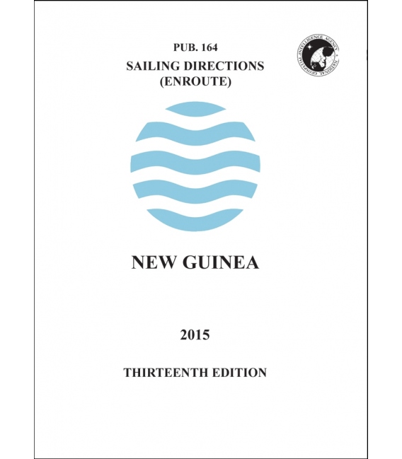
- Sailing Directions Pub. 164 New Guinea, 13th Edition (2015)
Categories
- CLEARANCE
- New Editions
- Nautical Charts
- Nautical Books
- E-Readers & E-Books
- Occupational Safety & Health Administration (OSHA)
- Destinations
- Code of Federal Regulations (CFR)
- USCG Exam Study Materials
- International Maritime Org. (IMO)
- Sealite Aids to Marine Navigation
- Flags
- Digital Charts
- Nautical Software
- Marine Supplies
- Navigation Equipment
- Intracoastal Waterway
- Ocean Cruising
- Great Circle Route
- Gift Shop


Sign up for our Newsletter
PSSD164
New product
Pub. 164 - Sailing Directions (Enroute): New Guinea, 13th Edition (2015)
Pub. 164, Sailing Directions (Enroute) New Guinea, Thirteenth Edition, 2015, is issued for use in conjunction with Pub. 160, Sailing Directions (Planning Guide) Pacific Ocean and Southeast Asia. Companion volumes are Pubs. 161, 162, and 163.
Digital Nautical Charts 4, 5, and 14 provide electronic chart coverage for the area covered by this publication. This publication has been corrected to 28 March 2015, including Notice to Mariners No. 13 of 2015.
Contents Preface
II Chartlet—Sector Limits
III Conversion Tables
V Abbreviations
VI Sector 1 Islands between Mindanao and Sulawesi (Celebes) . . . . . . . . . . . . . . . . . . . . 1
Sector 2 The Northern Moluccas—Halmahera, Kepulauan Obi, and Kepulauan Sula . .. . . . . . . . . . . 13
Sector 3 The Southern Moluccas—Buru, Seram, and Kepulauan Banda . . . . . .. . . . . . . . 43
Sector 4 The Banda Sea and Off-lying Islands . . . . . . . . . . . . . . . . . . . . . . . . . . . . . 67
Sector 5 South Coast of Irian Jaya and Off-lying Islands . . . . . . . . . . . . . . . . . . . . .. . . . . . . . 99
Sector 6 South Coast of Papua New Guinea—The Bensbach River to South Cape . . . . .. . . . . . . . . . . 129
Sector 7 Eastern Papua New Guinea—South Cape to East Cape . . . . . . . . . . . . . . . . . . . . . . . . . . . 153
Sector 8 The Louisiade Archipelago . . . . . . . . . . . . . . . . . . . . . . . . . . . . . . . . . . .. . . . . . . . 169
Sector 9 Islands North and Northeast of East Cape—North Coast of Papua New Guinea—East Cape to East Boundary of Irian Jaya . . 191
Sector 10 North Coast of Irian Jaya—East Boundary of Irian Jaya to Tanjung Yamursba . . . . . . . . . . . . . . . . 229
Glossaries . . . . . . . . . . . . . . . . . . . . . . . . . . . . . . . . . . 255
Index—Gazetteer . . . . . . . . . . . . . . . . . . . . . . . . . . . . . 259
Reviews
30 other products in the same category:
Customers who bought this product also bought:
- About Us
- Our Services
- Ordering & Shipping
- Resource Links
- Blog
- CLEARANCE
- New Editions
- Nautical Charts
- Nautical Books
- E-Readers & E-Books
- Occupational Safety & Health Administration (OSHA)
- Destinations
- Code of Federal Regulations (CFR)
- USCG Exam Study Materials
- International Maritime Org. (IMO)
- Sealite Aids to Marine Navigation
- Flags
- Digital Charts
- Nautical Software
- Marine Supplies
- Navigation Equipment
- Intracoastal Waterway
- Ocean Cruising
- Great Circle Route
- Gift Shop
Maryland Nautical uses cookies to enhance your e-commerce experience. To view more information about our cookie use, click here to view our Privacy Policy.

