Sign up for our Newsletter


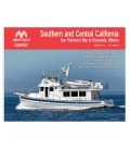
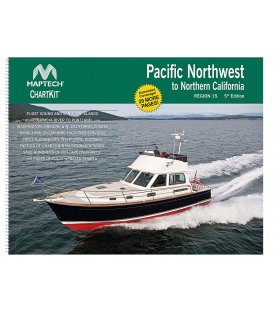
Completely updated. Coastal and offshore coverage. Full-color charts, GPS waypoints, courses and distances, Yeoman points, and color aerial photos. Save hundreds of dollars on charts. 22 X 17", 90 chart pages.ChartKits have been a mainstay of boating for generationsÑmore than 1 million ChartKits have been sold in the past 30 years! A Great Value YouÕll save up to 90% compared to the cost of purchasing individual government charts. The Perfect Size Large enough to plot routes; small enough to fit on your lap. Easy to Use Pre-plotted waypoints and lat/long grids for your GPS; magnetic courses for your compass. Fully Referenced Geographic and alphabetical indexes quickly point you to the right page. Reliable A great primary or secondary navigational reference. No batteries required! ISBN: