Sign up for our Newsletter


More info
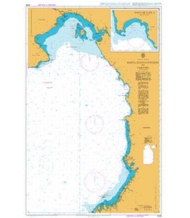
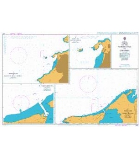
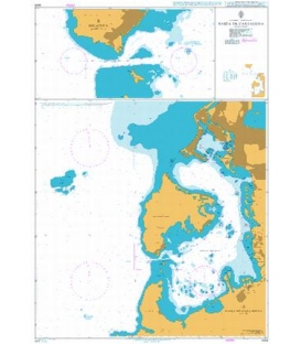
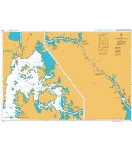
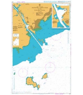
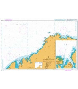
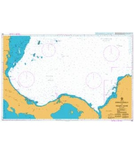
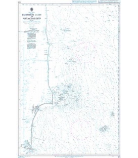
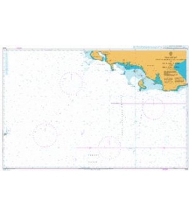
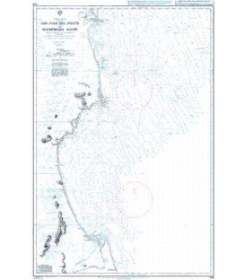
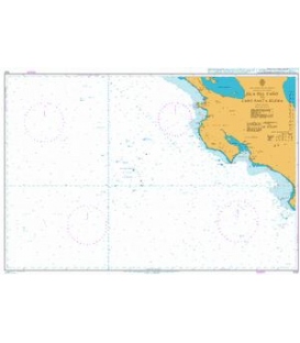
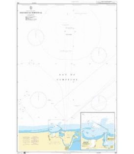
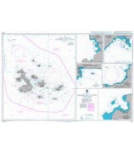
British Admiralty Nautical Chart 2417 Harbours on the North Coast of Central America
is corrected up to date. Admiralty standard nautical charts comply with Safety of Life at Sea (SOLAS) regulations and are ideal for professional, commercial and recreational use. Charts within the series consist of a range of scales, useful for passage planning, ocean crossings, coastal navigation and entering port. Mariners should always use the largest scale nautical chart appropriate to their needs. In particularly busy seaways such as the English Channel, Gulf of Suez and the Malacca and Singapore Straits, the standard nautical charts are supplemented by mariners routeing guides which provide advice on route planning in these complex areas.
Chart 2417
Main Chart Details
- Chart Title: Harbours on the North Coast of Central America
- Publication Date: 26/06/1933
- Latest Edition date: 29/11/2001
- Chart Size: 645 x 951 (mm)
Chart Panel Details
- Panel Name A - Golfo de San Blas including Puerto Mandinga
- Area Name Panama - North Coast
- Natural Scale 50000
- North Limit 9 37'.04N
- East Limit 78 52'.35W
- South Limit 9 25'.07N
- West Limit 79 09'.97W
- Panel Name B - Puerto Nicuesa
- Natural Scale 29030
- North Limit 9 29'.00N
- East Limit 79 02'.51W
- South Limit 9 26'.33N
- West Limit 79 04'.93W
- Panel Name D - Isla de Pinos Anchorage
- Area Name Panama - North Coast
- Natural Scale 18900
- North Limit 9 01'.09N
- East Limit 77 45'.22W
- South Limit 8 59'.89N
- West Limit 77 46'.66W
- Panel Name E - Portobelo
- Area Name Panama - North Coast
- Natural Scale 18000
- North Limit 9 34'.31N
- East Limit 79 39'.35W
- South Limit 9 32'.43N
- West Limit 79 42'.17W
- Panel Name C - Bahia Nombre de Dios and Rada Playa de Damas
- Area Name Panama - North Coast
- Natural Scale 12500
- North Limit 9 37'.39N
- East Limit 79 27'.28W
- South Limit 9 34'.03N
- West Limit 79 29'.65W