Sign up for our Newsletter


More info
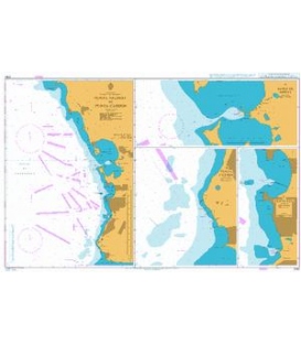
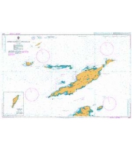
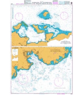
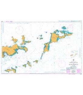
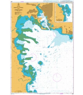
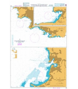
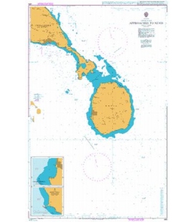
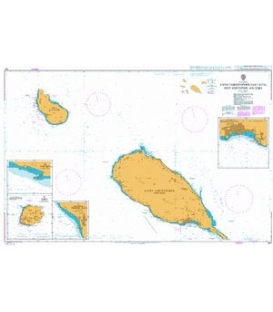
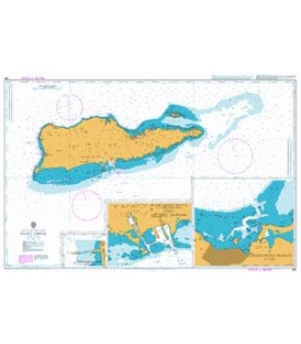
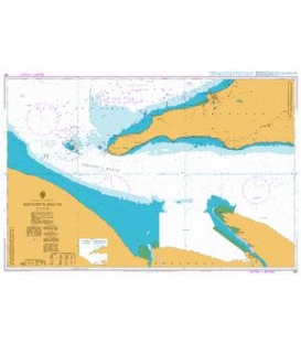
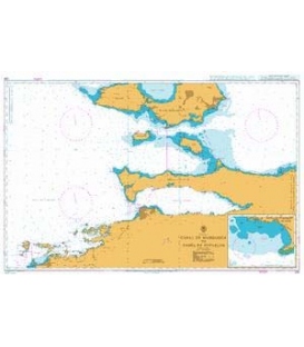
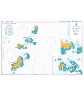
British Admiralty Nautical Chart 491 Harbours and Anchorages in Guadeloupe
is corrected up to date. Admiralty standard nautical charts comply with Safety of Life at Sea (SOLAS) regulations and are ideal for professional, commercial and recreational use. Charts within the series consist of a range of scales, useful for passage planning, ocean crossings, coastal navigation and entering port. Mariners should always use the largest scale nautical chart appropriate to their needs. In particularly busy seaways such as the English Channel, Gulf of Suez and the Malacca and Singapore Straits, the standard nautical charts are supplemented by mariners routeing guides which provide advice on route planning in these complex areas.
Chart 491
Main Chart Details
- Chart Title: Harbours and Anchorages in Guadeloupe
- Publication Date: 25/02/1994
- Latest Edition date: 25/02/1994
- Chart Size: 1020 x 625 (mm)
Chart Panel Details
- Panel Name A Basse-Terre
- Area Name Basse-Terre
- Natural Scale 15000
- North Limit 16 00'.14N
- East Limit 61 42'.70W
- South Limit 15 58'.50N
- West Limit 61 44'.79W
- Panel Name B Petit Havre
- Area Name Grande-Terre
- Natural Scale 15000
- North Limit 16 13'.07N
- East Limit 61 25'.20W
- South Limit 16 11'.43N
- West Limit 61 26'.66W
- Panel Name C Saint-Anne and Anse Accul
- Area Name Grande-Terre
- Natural Scale 10000
- North Limit 16 13'.55N
- East Limit 61 22'.90W
- South Limit 16 12'.46N
- West Limit 61 24'.14W
- Panel Name D Le Moule
- Area Name Grande-Terre
- Natural Scale 10000
- North Limit 16 20'.72N
- East Limit 61 20'.29W
- South Limit 16 19'.63N
- West Limit 61 21'.26W
- Panel Name E Grande Anse
- Area Name La Desirade
- Natural Scale 10000
- North Limit 16 18'.38N
- East Limit 61 03'.79W
- South Limit 16 17'.29N
- West Limit 61 04'.69W
- Panel Name F Les Saintes
- Natural Scale 17500
- North Limit 15 53'.45N
- East Limit 61 33'.27W
- South Limit 15 49'.53N
- West Limit 61 39'.80W
- Panel Name G Saint-Francois
- Area Name Grande Terre
- Natural Scale 10000
- North Limit 16 15'.42N
- East Limit 61 14'.79W
- South Limit 16 14'.36N
- West Limit 61 16'.72W
- Panel Name H Baie de Saint-Louis
- Area Name Marie-Galante
- Natural Scale 25000
- North Limit 15 58'.64N
- East Limit 61 18'.89W
- South Limit 15 55'.84N
- West Limit 61 21'.19W
- Panel Name I Grande-Bourg
- Area Name Marie-Galante
- Natural Scale 10000
- North Limit 15 53'.13N
- East Limit 61 18'.77W
- South Limit 15 52'.01N
- West Limit 61 19'.72W