Sign up for our Newsletter


More info
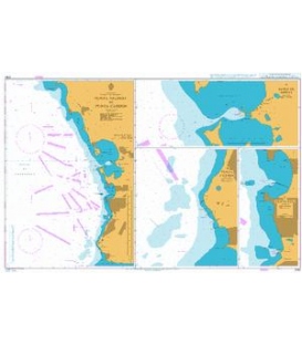
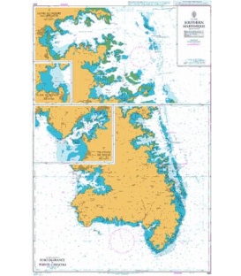
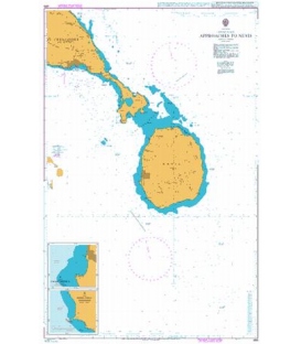
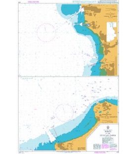
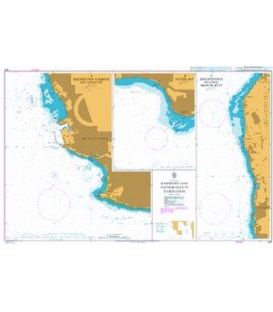
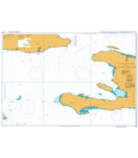
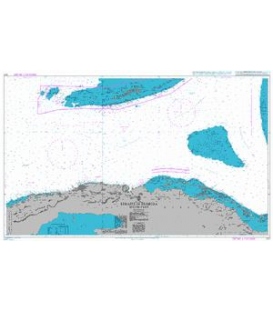
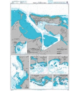
British Admiralty Nautical Chart 478 Ports in Puerto Rico
is corrected up to date. Admiralty standard nautical charts comply with Safety of Life at Sea (SOLAS) regulations and are ideal for professional, commercial and recreational use. Charts within the series consist of a range of scales, useful for passage planning, ocean crossings, coastal navigation and entering port. Mariners should always use the largest scale nautical chart appropriate to their needs. In particularly busy seaways such as the English Channel, Gulf of Suez and the Malacca and Singapore Straits, the standard nautical charts are supplemented by mariners routeing guides which provide advice on route planning in these complex areas.
Chart 478
Main Chart Details
- Chart Title: Ports in Puerto Rico
- Publication Date: 12/02/1954
- Latest Edition date: 31/03/2005
- Chart Size: 645 x 950 (mm)
Chart Panel Details
- Panel Name G Bahia de Guayanilla and Bahia de Tallaboa
- Natural Scale 50000
- North Limit 18 00'.95N
- East Limit 66 42'.91W
- South Limit 17 56'.61N
- West Limit 66 47'.64W
- Panel Name F Bahia de Jobos
- Natural Scale 50000
- North Limit 17 58'.30N
- East Limit 66 10'.37W
- South Limit 17 53'.96N
- West Limit 66 17'.51W
- Panel Name E Bahia de Mayaguez
- Natural Scale 36000
- North Limit 18 16'.63N
- East Limit 67 09'.00W
- South Limit 18 09'.37N
- West Limit 67 13'.15W
- Panel Name C Bahia de Guanica
- Natural Scale 36000
- North Limit 17 58'.64N
- East Limit 66 52'.00W
- South Limit 17 54'.73N
- West Limit 66 56'.00W
- Panel Name D Bahia de Ponce
- Natural Scale 36000
- North Limit 17 59'.76N
- East Limit 66 35'.25W
- South Limit 17 55'.85N
- West Limit 66 39'.79W
- Panel Name B Puerto Yabucoa
- Natural Scale 30000
- North Limit 18 04'.00N
- East Limit 65 47'.75W
- South Limit 18 01'.75N
- West Limit 65 50'.55W
- Panel Name A Bahia de San Juan
- Natural Scale 12000
- North Limit 18 29'.18N
- East Limit 66 04'.60W
- South Limit 18 25'.50N
- West Limit 66 09'.00W