Sign up for our Newsletter


More info
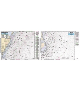
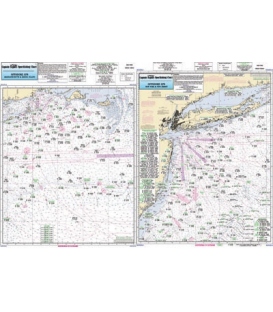
Captain Segull's Chart OFGPS18 Offshore Canyon chart off MA, RI, CT, NY, NJ
Offshore chart off MA, RI, CT, NY, & NJ, 90 to 100 miles off coast, Double sided, laminated, 19 x 26 inches.
Side A: Nantucket Shoals to tip of Montauk, NY, south to cover all canyons beginning with the Veatch Canyon. Side B: extends from Montauk to Five Fathom Bank off Cape May, NJ. This chart has sister charts the ONJ19 and ONY59. All charts include GPS coordinates, wrecks, reefs, shoals, fishing areas, amenities and restrictions. Also refert to AT206, BKL207, CRM208, MVN116, SCC103, BB14, PJ13, FIO10, FI105, LI15, SLI107, MP108, & NB104, JH113, NYH114, NNJ109, & SNJ110