Sign up for our Newsletter


More info
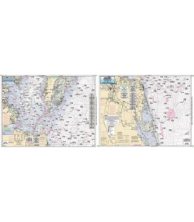
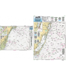
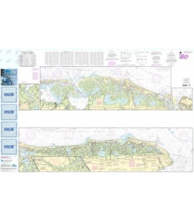
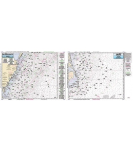
Captain Segull's Chart CMCH20 Offshore Cape May, NJ to Cape Hatteras, NC (2021)
Offshore chart 90 to 100 miles off coast, Double sided, laminated, 19 x 26 inches. New Jersey to North Carolina
An offshore canyon and ledge chart, Side A: from Cape May, NJ to Cape Henry, VA, Side B: from Cape Henry, VA to Cape Hatteras, NC. All charts include GPS coordinates, wrecks, reefs, shoals, fishing areas, amenities and restrictions. Also refer to ODMV21, SNJ110, CBU120, CBM119, CBL22, CHO123, ALB24, PS25, AN124, & NM125.