Sign up for our Newsletter


More info
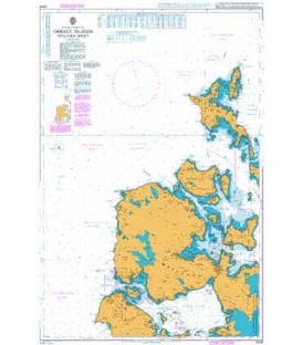
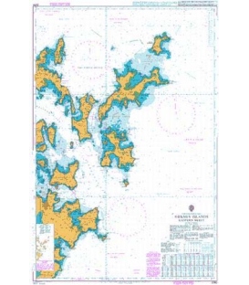
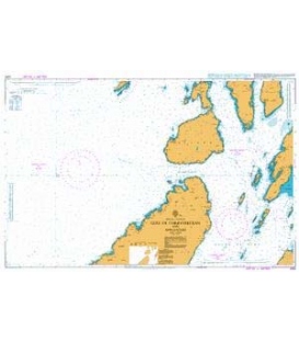
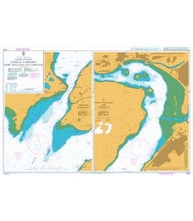
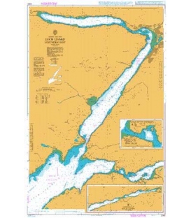
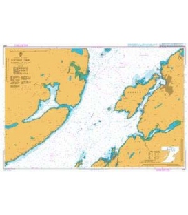
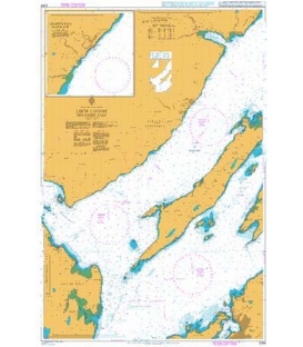
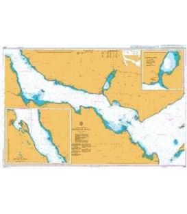
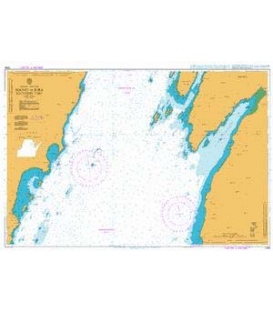
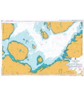
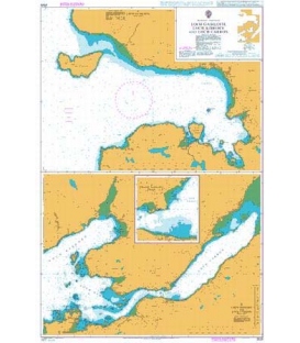
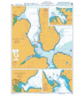
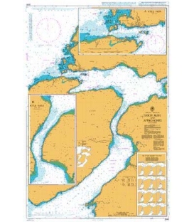
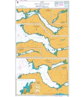
British Admiralty Nautical Chart 1791 Caledonian Canal
is corrected up to date. Admiralty standard nautical charts comply with Safety of Life at Sea (SOLAS) regulations and are ideal for professional, commercial and recreational use. Charts within the series consist of a range of scales, useful for passage planning, ocean crossings, coastal navigation and entering port. Mariners should always use the largest scale nautical chart appropriate to their needs. In particularly busy seaways such as the English Channel, Gulf of Suez and the Malacca and Singapore Straits, the standard nautical charts are supplemented by mariners routeing guides which provide advice on route planning in these complex areas.
Chart 1791
Main Chart Details
- Chart Title: Caledonian Canal
- Publication Date: 27/05/1977
- Latest Edition date: 27/10/2005
- Chart Size: 980 x 625 (mm)
Chart Panel Details
- Panel Name A Corpach to Fort Augustus
- Natural Scale 75000
- North Limit 57 10'.29N
- East Limit 4 28'.12W
- South Limit 56 45'.00N
- West Limit 5 10'.00W
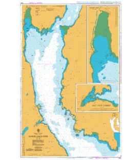
- Panel Name B Fort Augustus to Inverness
- Natural Scale 75000
- North Limit 57 31'.05N
- East Limit 4 12'.00W
- South Limit 57 06'.00N
- West Limit 4 41'.50W
- Panel Name C Loch Lochy Gairlochy Locks
- Natural Scale 25000
- North Limit 56 56'.61N
- East Limit 4 58'.00W
- South Limit 56 54'.50N
- West Limit 5 00'.50W
- Panel Name D Loch Lochy Laggan Locks
- Natural Scale 12500
- North Limit 57 01'.76N
- East Limit 4 49'.34W
- South Limit 57 00'.70N
- West Limit 4 50'.60W
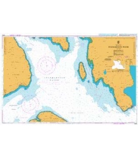
- Panel Name E Loch Oich
- Natural Scale 15000
- North Limit 57 05'.70N
- East Limit 4 44'.50W
- South Limit 57 02'.50N
- West Limit 4 48'.50W
- Panel Name F Loch Ness Fort Augustus
- Natural Scale 12500
- North Limit 57 09'.40N
- East Limit 4 39'.00W
- South Limit 57 08'.09N
- West Limit 4 41'.00W
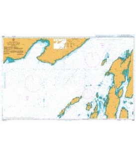
- Panel Name G Loch Ness Urquhart Bay
- Natural Scale 12500
- North Limit 57 20'.30N
- East Limit 4 25'.80W
- South Limit 57 19'.30N
- West Limit 4 27'.40W
- Panel Name H Loch Dochfour
- Natural Scale 12500
- North Limit 57 26'.10N
- East Limit 4 18'.00W
- South Limit 57 24'.00N
- West Limit 4 20'.80W