

Sign up for our Newsletter
Captain Segull's Nautical Sportfishing Charts
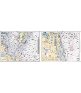
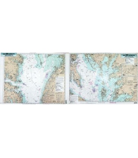
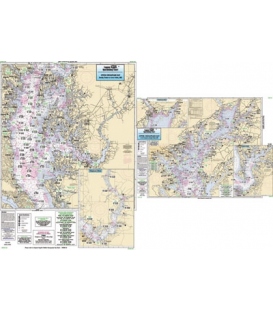
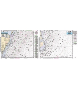
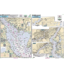
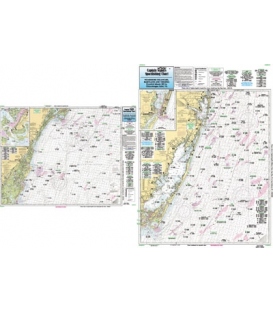
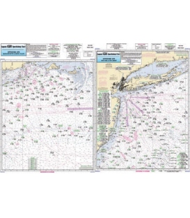
Captain Segull's Charts are designed for the serious sport fisherman. All charts are laminated, waterproof and in full color. Average chart size is 19.5" X 26.5". Charts highlight: latitude and longitude (GPS), Loran lines, contour lines, shore services such as fuel docks, loading ramps, pump-out stations and restaurants. Also highlighted are fishing holes with local names, coordinates of buoys, inlets, reefs, rigs and wrecks.
Showing 1 - 8 of 8 items

