Sign up for our Newsletter


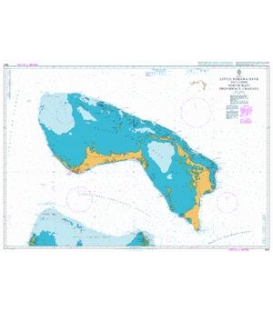
NV-Charts Waterproof 9.1.1: Bimini Islands Miami to Bimini, 2009 Ed.
The Waterproof editions cover special local areas of the Bahamas. The charts are taken from the NV. Charts Kits. There are three Waterproof charts available for the Bahamas, each 24" x 36" in size: 9.1.1 Bimini Islands Each waterproof edition includes one or two coastal charts on one side and details of harbours and anchorages of larger scales on the other side. They include the same chart information as the charts of the NV. Charts Kits of these areas. The Waterproof charts are printed on special paper designed to withstand the elements. • Includes 1 passage chart (1:200,000) • 1 coastal chart (1:40,000 • 3 details (1:5,000, 1:10,000, 1:15,000) This edition has the new harbor entrance to North Bimini Island. • 24"x 36" waterproof paper • soundings in feet • Maritime Buoyage System B • navigation warnings marked in red • cruising information written in green • courses and distances • latitude and longitude borders on each chart • GPS waypoints in WGS 84 • marked anchorages • key for depth features.