

Sign up for our Newsletter
More info
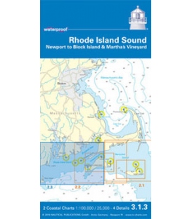
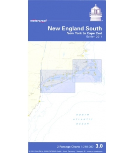
NV Charts Waterproof • 3.0 New England South New York to Cape Cod, Edition 2011
2 Passage Charts 1:240,000
Each waterproof chart includes 2 coastal charts and details of harbors and anchorages in larger scales. Charts are derived from the same information as the nv-charts region of the area. Great for fishing and diving.
• Special waterproof Paper (24”x 36”)
• Maritime Buoyage System B
• Navigation Warnings Marked in Red
• Cruising Information Written in Green
• Courses and Distances
• Latitude and Longitude Borders on Each Chart
• GPS Waypoints in WGS 84
• Marked Anchorages
• Soundings in Feet/Meters
• North Up


